Area Overview for M15 5FF
Photos of M15 5FF
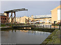
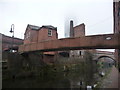
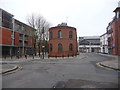
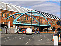
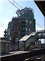
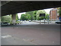
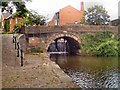
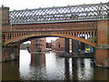
100 photos from this area
Area Information
Key information about the M15 5FF including its size, population, and administrative classification.
- Area Type
- Postcode
- Area Size
- 5063 m²
- Population
- 2397
- Population Density
- 9352 people/km²
House Prices in M15 5FF
42
Properties
£102,605
Average Sold Price
£8,820
Lowest Price
£207,000
Highest Price
Showing 42 properties
| Address | Type | Beds | Baths | Last Sale Price | Last Sale Date | |
|---|---|---|---|---|---|---|
| 37 Hunmanby Avenue, Manchester, M15 5FF | Flat | - | - | £180,000 | Oct 2022 | |
| 31 Hunmanby Avenue, Manchester, M15 5FF | Flat | 2 | 1 | £207,000 | Aug 2022 | |
| 7 Hunmanby Avenue, Manchester, M15 5FF | Flat | 2 | 1 | £152,000 | Aug 2020 | |
| 45 Hunmanby Avenue, Manchester, M15 5FF | Flat | - | - | £137,000 | Jan 2020 | |
| 55 Hunmanby Avenue, Manchester, M15 5FF | Flat | - | - | £150,000 | Nov 2019 | |
| 11 Hunmanby Avenue, Manchester, M15 5FF | Flat | 2 | 1 | £125,000 | Sep 2016 | |
| 81 Hunmanby Avenue, Manchester, M15 5FF | Flat | - | - | £28,900 | Oct 2013 | |
| 41 Hunmanby Avenue, Manchester, M15 5FF | Flat | - | - | £88,000 | Sep 2011 | |
| 15 Hunmanby Avenue, Manchester, M15 5FF | Flat | - | - | £105,000 | Mar 2008 | |
| 23 Hunmanby Avenue, Manchester, M15 5FF | Flat | - | - | £34,000 | Aug 2007 |
Page 1 of 5
Energy Efficiency in M15 5FF
Amenities
Schools
| Rank | School | Type | Entry gender | Ages |
|---|
Explore more schools in this area
Go to Schools tabDemographics
Household Size
One person
most common
Accommodation Type
Flats
most common
Tenure
15
majority
Ethnic Group
White
most common
Religion
N/A
most common
Household Composition
N/A
most common
Age
47
median
Adults (30-64 years)
most common
Household Deprivation
N/A
with no deprivation
NS-SEC
22
in Lower managerial occupations
Explore more demographic insights in this area
Go to Demographics tabPlanning
Planning Constraints
- Flood RiskPremium
- Ramsar Wetland SitesPremium
- Area of Outstanding Natural BeautyPremium
- Protected Nature ReservePremium
- Protected WoodlandPremium