Area Overview for M14 6AL
Photos of M14 6AL
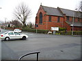
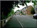
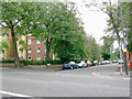
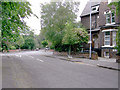
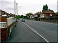
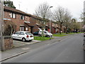
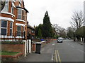
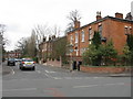
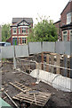
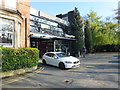
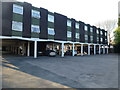
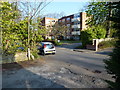
60 photos from this area
Area Information
Key information about the M14 6AL including its size, population, and administrative classification.
- Area Type
- Postcode
- Area Size
- 3887 m²
- Population
- 1985
- Population Density
- 10853 people/km²
House Prices in M14 6AL
23
Properties
£239,119
Average Sold Price
£73,000
Lowest Price
£450,000
Highest Price
Showing 23 properties
| Address | Type | Beds | Baths | Last Sale Price | Last Sale Date | |
|---|---|---|---|---|---|---|
| 1 Latchmere Road, Manchester, M14 6AL | Terraced | 6 | 1 | £357,000 | Jul 2025 | |
| 20 Latchmere Road, Manchester, M14 6AL | house | 5 | - | £450,000 | Nov 2021 | |
| 6 Latchmere Road, Manchester, M14 6AL | house | - | - | £328,000 | Dec 2014 | |
| 18 Latchmere Road, Manchester, M14 6AL | house | 5 | 2 | £289,950 | Nov 2006 | |
| 14 Latchmere Road, Manchester, M14 6AL | house | - | - | £260,000 | Jul 2006 | |
| 2 Latchmere Road, Manchester, M14 6AL | Terraced | 6 | 6 | £80,000 | Jul 2004 | |
| 11 Latchmere Road, Manchester, M14 6AL | Terraced | 6 | 2 | £75,000 | Apr 1999 | |
| 4 Latchmere Road, Manchester, M14 6AL | Terraced | 8 | 3 | £73,000 | Aug 1997 | |
| 5 Latchmere Road, Manchester, M14 6AL | house | 6 | 2 | - | - | |
| 13 Latchmere Road, Manchester, M14 6AL | house | 6 | 2 | - | - |
Page 1 of 3
Energy Efficiency in M14 6AL
Amenities
Schools
| Rank | School | Type | Entry gender | Ages |
|---|
Explore more schools in this area
Go to Schools tabDemographics
Household Size
One person
most common
Accommodation Type
Flats
most common
Tenure
18
majority
Ethnic Group
White
most common
Religion
N/A
most common
Household Composition
N/A
most common
Age
22
median
Young Adults (15-29 years)
most common
Household Deprivation
N/A
with no deprivation
NS-SEC
14
in Lower managerial occupations
Explore more demographic insights in this area
Go to Demographics tabPlanning
Planning Constraints
- Flood RiskPremium
- Ramsar Wetland SitesPremium
- Area of Outstanding Natural BeautyPremium
- Protected Nature ReservePremium
- Protected WoodlandPremium