Area Overview for M14 5PJ
Photos of M14 5PJ
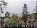
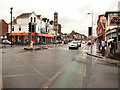
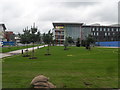
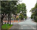
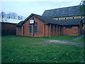

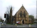
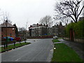
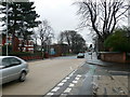
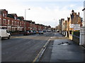
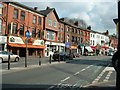
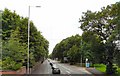
100 photos from this area
Area Information
Key information about the M14 5PJ including its size, population, and administrative classification.
- Area Type
- Postcode
- Area Size
- 7180 m²
- Population
- 2503
- Population Density
- 14680 people/km²
House Prices in M14 5PJ
17
Properties
£188,523
Average Sold Price
£46,500
Lowest Price
£385,000
Highest Price
Showing 17 properties
| Address | Type | Beds | Baths | Last Sale Price | Last Sale Date | |
|---|---|---|---|---|---|---|
| 27 Milverton Road, Manchester, M14 5PJ | Detached | 1 | 1 | £385,000 | Jan 2025 | |
| 21 Milverton Road, Manchester, M14 5PJ | house | 6 | 1 | £280,000 | Jan 2022 | |
| 32 Milverton Road, Manchester, M14 5PJ | house | 6 | - | £285,000 | Oct 2019 | |
| 25 Milverton Road, Manchester, M14 5PJ | house | 6 | 3 | £252,500 | Mar 2019 | |
| 29 Milverton Road, Manchester, M14 5PJ | Terraced | 3 | 2 | £230,000 | Apr 2018 | |
| 35 Milverton Road, Manchester, M14 5PJ | house | 5 | 2 | £299,500 | Mar 2018 | |
| 23 Milverton Road, Manchester, M14 5PJ | Detached | 4 | 1 | £235,000 | Oct 2017 | |
| 30 Milverton Road, Manchester, M14 5PJ | Terraced | 4 | 1 | £157,500 | Jan 2014 | |
| 34 Milverton Road, Manchester, M14 5PJ | house | 5 | 2 | £84,000 | Sep 2001 | |
| 37 Milverton Road, Manchester, M14 5PJ | Detached | 4 | - | £87,300 | Jun 1998 |
Page 1 of 2
Energy Efficiency in M14 5PJ
Amenities
Schools
| Rank | School | Type | Entry gender | Ages |
|---|
Explore more schools in this area
Go to Schools tabDemographics
Household Size
One person
most common
Accommodation Type
Flats
most common
Tenure
11
majority
Ethnic Group
White
most common
Religion
N/A
most common
Household Composition
N/A
most common
Age
22
median
Young Adults (15-29 years)
most common
Household Deprivation
N/A
with no deprivation
NS-SEC
14
in Lower managerial occupations
Explore more demographic insights in this area
Go to Demographics tabPlanning
Planning Constraints
- Flood RiskPremium
- Ramsar Wetland SitesPremium
- Area of Outstanding Natural BeautyPremium
- Protected Nature ReservePremium
- Protected WoodlandPremium