Area Overview for M14 5HR
Photos of M14 5HR
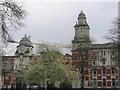
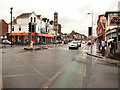
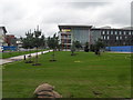
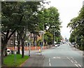
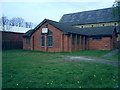

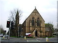
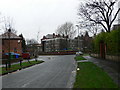
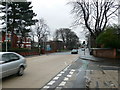
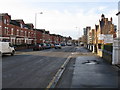
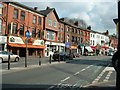
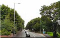
100 photos from this area
Area Information
Key information about the M14 5HR including its size, population, and administrative classification.
- Area Type
- Postcode
- Area Size
- 1.0 hectares
- Population
- 2300
- Population Density
- 7964 people/km²
House Prices in M14 5HR
24
Properties
£157,844
Average Sold Price
£45,000
Lowest Price
£415,000
Highest Price
Showing 24 properties
| Address | Type | Beds | Baths | Last Sale Price | Last Sale Date | |
|---|---|---|---|---|---|---|
| 27 Park Range, Manchester, M14 5HR | house | - | - | £415,000 | Jun 2023 | |
| 49 Park Range, Manchester, M14 5HR | house | - | - | £297,000 | Mar 2022 | |
| 41 Park Range, Manchester, M14 5HR | Flat | - | - | £140,000 | Jan 2021 | |
| 33 Park Range, Manchester, M14 5HR | Semi-detached | 6 | - | £222,500 | Oct 2015 | |
| 53 Park Range, Manchester, M14 5HR | house | 4 | 1 | £175,000 | May 2015 | |
| 23 Park Range, Manchester, M14 5HR | house | 6 | 2 | £150,000 | Jul 2014 | |
| 43 Park Range, Manchester, M14 5HR | Detached | 9 | 3 | £285,000 | Aug 2006 | |
| 45 Park Range, Manchester, M14 5HR | Semi-detached | 5 | 2 | £235,000 | Aug 2004 | |
| 37 Park Range, Manchester, M14 5HR | Semi-detached | 1 | 3 | £90,000 | Jul 2001 | |
| 13 Park Range, Manchester, M14 5HR | Semi-detached | 5 | 3 | £83,000 | Jul 1999 |
Page 1 of 3
Energy Efficiency in M14 5HR
Amenities
Schools
| Rank | School | Type | Entry gender | Ages |
|---|
Explore more schools in this area
Go to Schools tabDemographics
Household Size
Family (3-5 people)
most common
Accommodation Type
Houses
most common
Tenure
27
majority
Ethnic Group
White
most common
Religion
N/A
most common
Household Composition
N/A
most common
Age
22
median
Young Adults (15-29 years)
most common
Household Deprivation
N/A
with no deprivation
NS-SEC
21
in Lower managerial occupations
Explore more demographic insights in this area
Go to Demographics tabPlanning
Planning Constraints
- Flood RiskPremium
- Ramsar Wetland SitesPremium
- Area of Outstanding Natural BeautyPremium
- Protected Nature ReservePremium
- Protected WoodlandPremium