Area Overview for M14 4RQ
Photos of M14 4RQ
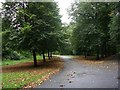
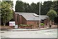
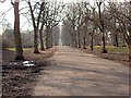
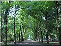

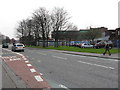
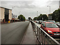
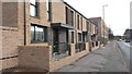
78 photos from this area
Area Information
Key information about the M14 4RQ including its size, population, and administrative classification.
- Area Type
- Postcode
- Area Size
- 3648 m²
- Population
- 1761
- Population Density
- 4421 people/km²
House Prices in M14 4RQ
29
Properties
£100,250
Average Sold Price
£5,500
Lowest Price
£180,000
Highest Price
Showing 29 properties
| Address | Type | Beds | Baths | Last Sale Price | Last Sale Date | |
|---|---|---|---|---|---|---|
| 92 Hartington Street, Manchester, M14 4RQ | Terraced | 3 | 2 | £165,000 | Dec 2024 | |
| 86 Hartington Street, Manchester, M14 4RQ | Terraced | 3 | 2 | £180,000 | May 2022 | |
| 105 Hartington Street, Manchester, M14 4RQ | house | - | - | £90,000 | Oct 2011 | |
| 102 Hartington Street, Manchester, M14 4RQ | house | 3 | - | £76,000 | Sep 2010 | |
| 103 Hartington Street, Manchester, M14 4RQ | Terraced | - | - | £85,000 | Apr 2005 | |
| 104 Hartington Street, Manchester, M14 4RQ | Terraced | - | - | £5,500 | Oct 1997 | |
| 87 Hartington Street, Manchester, M14 4RQ | house | - | - | - | - | |
| 108 Hartington Street, Manchester, M14 4RQ | house | - | - | - | - | |
| 90 Hartington Street, Manchester, M14 4RQ | house | - | - | - | - | |
| 85 Hartington Street, Manchester, M14 4RQ | house | - | - | - | - |
Page 1 of 3
Energy Efficiency in M14 4RQ
Amenities
Schools
| Rank | School | Type | Entry gender | Ages |
|---|
Explore more schools in this area
Go to Schools tabDemographics
Household Size
One person
most common
Accommodation Type
Houses
most common
Tenure
29
majority
Ethnic Group
black_total
most common
Religion
N/A
most common
Household Composition
N/A
most common
Age
47
median
Adults (30-64 years)
most common
Household Deprivation
N/A
with no deprivation
NS-SEC
19
in Lower managerial occupations
Explore more demographic insights in this area
Go to Demographics tabPlanning
Planning Constraints
- Flood RiskPremium
- Ramsar Wetland SitesPremium
- Area of Outstanding Natural BeautyPremium
- Protected Nature ReservePremium
- Protected WoodlandPremium