Area Overview for M13 0WP
Photos of M13 0WP
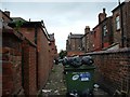
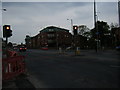
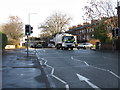
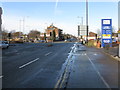
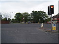
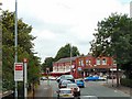
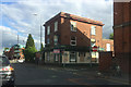
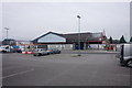
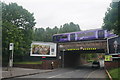
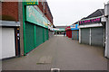
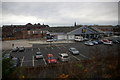
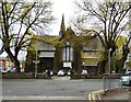
80 photos from this area
Area Information
Key information about the M13 0WP including its size, population, and administrative classification.
- Area Type
- Postcode
- Area Size
- 7421 m²
- Population
- 2347
- Population Density
- 10952 people/km²
House Prices in M13 0WP
40
Properties
£115,539
Average Sold Price
£33,000
Lowest Price
£248,000
Highest Price
Showing 40 properties
| Address | Type | Beds | Baths | Last Sale Price | Last Sale Date | |
|---|---|---|---|---|---|---|
| 7 Beresford Road, Manchester, M13 0WP | Terraced | 3 | 2 | £248,000 | Mar 2025 | |
| 27 Beresford Road, Manchester, M13 0WP | house | - | - | £173,000 | Mar 2020 | |
| 8 Beresford Road, Manchester, M13 0WP | Semi-detached | 4 | 1 | £175,000 | Apr 2018 | |
| 25 Beresford Road, Manchester, M13 0WP | Terraced | 3 | 1 | £141,000 | Mar 2018 | |
| 21 Beresford Road, Manchester, M13 0WP | Terraced | 3 | 2 | £115,000 | Jun 2014 | |
| 11 Beresford Road, Manchester, M13 0WP | house | 3 | - | £92,000 | Feb 2014 | |
| 6 Beresford Road, Manchester, M13 0WP | house | - | - | £112,500 | Oct 2009 | |
| 26 Beresford Road, Manchester, M13 0WP | Semi-detached | - | - | £186,000 | Apr 2008 | |
| 17 Beresford Road, Manchester, M13 0WP | Terraced | 3 | 1 | £145,000 | Dec 2007 | |
| 14 Beresford Road, Manchester, M13 0WP | house | - | - | £182,000 | Jul 2007 |
Page 1 of 4
Energy Efficiency in M13 0WP
Amenities
Schools
| Rank | School | Type | Entry gender | Ages |
|---|
Explore more schools in this area
Go to Schools tabDemographics
Household Size
Family (3-5 people)
most common
Accommodation Type
Houses
most common
Tenure
33
majority
Ethnic Group
asian_total
most common
Religion
N/A
most common
Household Composition
N/A
most common
Age
22
median
Adults (30-64 years)
most common
Household Deprivation
N/A
with no deprivation
NS-SEC
14
in Lower managerial occupations
Explore more demographic insights in this area
Go to Demographics tabPlanning
Planning Constraints
- Flood RiskPremium
- Ramsar Wetland SitesPremium
- Area of Outstanding Natural BeautyPremium
- Protected Nature ReservePremium
- Protected WoodlandPremium