Area Overview for M13 0UU
Photos of M13 0UU

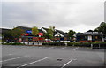
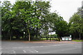
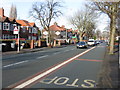
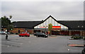
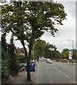


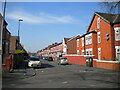

46 photos from this area
Area Information
Key information about the M13 0UU including its size, population, and administrative classification.
- Area Type
- Postcode
- Area Size
- 7614 m²
- Population
- 2177
- Population Density
- 7596 people/km²
House Prices in M13 0UU
22
Properties
£161,500
Average Sold Price
£20,000
Lowest Price
£280,000
Highest Price
Showing 22 properties
| Address | Type | Beds | Baths | Last Sale Price | Last Sale Date | |
|---|---|---|---|---|---|---|
| 8 Hadley Avenue, Manchester, M13 0UU | Flat | - | - | £245,000 | Sep 2025 | |
| 11 Hadley Avenue, Manchester, M13 0UU | house | - | - | £280,000 | Dec 2021 | |
| 2 Hadley Avenue, Manchester, M13 0UU | house | 3 | - | £159,000 | Jul 2016 | |
| 9 Hadley Avenue, Manchester, M13 0UU | house | - | - | £125,000 | Feb 2007 | |
| 15 Hadley Avenue, Manchester, M13 0UU | house | 4 | 2 | £140,000 | Jan 2007 | |
| 23 Hadley Avenue, Manchester, M13 0UU | Terraced | - | - | £20,000 | Jul 2000 | |
| 10 Hadley Avenue, Manchester, M13 0UU | house | - | - | - | - | |
| 14 Hadley Avenue, Manchester, M13 0UU | house | - | - | - | - | |
| 13 Hadley Avenue, Manchester, M13 0UU | house | - | - | - | - | |
| 24 Hadley Avenue, Manchester, M13 0UU | house | - | - | - | - |
Page 1 of 3
Energy Efficiency in M13 0UU
Amenities
Schools
| Rank | School | Type | Entry gender | Ages |
|---|
Explore more schools in this area
Go to Schools tabDemographics
Household Size
Family (3-5 people)
most common
Accommodation Type
Houses
most common
Tenure
48
majority
Ethnic Group
asian_total
most common
Religion
N/A
most common
Household Composition
N/A
most common
Age
22
median
Adults (30-64 years)
most common
Household Deprivation
N/A
with no deprivation
NS-SEC
16
in Lower managerial occupations
Explore more demographic insights in this area
Go to Demographics tabPlanning
Planning Constraints
- Flood RiskPremium
- Ramsar Wetland SitesPremium
- Area of Outstanding Natural BeautyPremium
- Protected Nature ReservePremium
- Protected WoodlandPremium