Area Overview for M13 0NW
Photos of M13 0NW
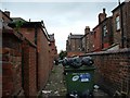
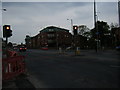
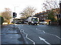
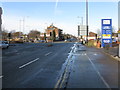
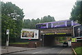
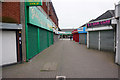
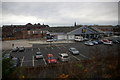
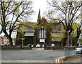
80 photos from this area
Area Information
Key information about the M13 0NW including its size, population, and administrative classification.
- Area Type
- Postcode
- Area Size
- 1.0 hectares
- Population
- 2094
- Population Density
- 10418 people/km²
House Prices in M13 0NW
95
Properties
£150,575
Average Sold Price
£52,600
Lowest Price
£200,000
Highest Price
Showing 95 properties
| Address | Type | Beds | Baths | Last Sale Price | Last Sale Date | |
|---|---|---|---|---|---|---|
| 31 Birch Lane, Manchester, M13 0NW | Terraced | 4 | 2 | £200,000 | Jan 2019 | |
| 21 Birch Lane, Manchester, M13 0NW | Terraced | 4 | 2 | £200,000 | Dec 2018 | |
| 35 Birch Lane, Manchester, M13 0NW | Terraced | 4 | 3 | £180,000 | May 2018 | |
| 25 Birch Lane, Manchester, M13 0NW | Flat | 2 | 1 | £183,000 | Sep 2017 | |
| 27 Birch Lane, Manchester, M13 0NW | house | - | - | £145,000 | Sep 2017 | |
| Flat 2, 47 Birch Lane, Manchester, M13 0NW | Flat | 3 | 1 | £179,000 | Apr 2007 | |
| 39 Birch Lane, Manchester, M13 0NW | house | 2 | 1 | £65,000 | Aug 2002 | |
| 33 Birch Lane, Manchester, M13 0NW | Terraced | 4 | 1 | £52,600 | May 1998 | |
| Flat 7, 1 Birch Lane, Manchester, M13 0NW | Flat | 2 | 1 | - | - | |
| Flat 38, 1 Birch Lane, Manchester, M13 0NW | Flat | 1 | 2 | - | - |
Page 1 of 10
Energy Efficiency in M13 0NW
Amenities
Schools
| Rank | School | Type | Entry gender | Ages |
|---|
Explore more schools in this area
Go to Schools tabDemographics
Household Size
One person
most common
Accommodation Type
Flats
most common
Tenure
21
majority
Ethnic Group
asian_total
most common
Religion
N/A
most common
Household Composition
N/A
most common
Age
22
median
Young Adults (15-29 years)
most common
Household Deprivation
N/A
with no deprivation
NS-SEC
19
in Lower managerial occupations
Explore more demographic insights in this area
Go to Demographics tabPlanning
Planning Constraints
- Flood RiskPremium
- Ramsar Wetland SitesPremium
- Area of Outstanding Natural BeautyPremium
- Protected Nature ReservePremium
- Protected WoodlandPremium