Area Overview for M13 0EJ
Photos of M13 0EJ
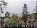
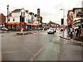
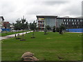
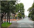
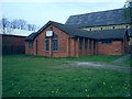

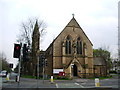
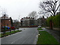
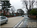
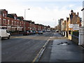
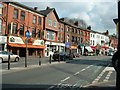
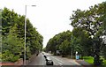
100 photos from this area
Area Information
Key information about the M13 0EJ including its size, population, and administrative classification.
- Area Type
- Postcode
- Area Size
- 5708 m²
- Population
- 2503
- Population Density
- 14680 people/km²
House Prices in M13 0EJ
24
Properties
£172,103
Average Sold Price
£42,500
Lowest Price
£325,000
Highest Price
Showing 24 properties
| Address | Type | Beds | Baths | Last Sale Price | Last Sale Date | |
|---|---|---|---|---|---|---|
| 9 Hathersage Road, Manchester, M13 0EJ | house | 3 | 1 | £260,000 | May 2024 | |
| 5 Hathersage Road, Manchester, M13 0EJ | house | 6 | 3 | £250,000 | Mar 2024 | |
| 3 Hathersage Road, Manchester, M13 0EJ | Terraced | 5 | 3 | £305,500 | Oct 2023 | |
| 35 Hathersage Road, Manchester, M13 0EJ | Terraced | 5 | 2 | £325,000 | Jul 2023 | |
| 47 Hathersage Road, Manchester, M13 0EJ | house | 4 | 2 | £255,000 | Feb 2021 | |
| 23 Hathersage Road, Manchester, M13 0EJ | Terraced | 7 | 2 | £300,000 | Sep 2020 | |
| 13 Hathersage Road, Manchester, M13 0EJ | Terraced | 4 | 2 | £112,000 | Jul 2013 | |
| 21 Hathersage Road, Manchester, M13 0EJ | house | - | - | £148,000 | Aug 2008 | |
| 25 Hathersage Road, Manchester, M13 0EJ | house | 5 | 2 | £220,000 | Nov 2006 | |
| 45 Hathersage Road, Manchester, M13 0EJ | house | - | - | £150,000 | Nov 2006 |
Page 1 of 3
Energy Efficiency in M13 0EJ
Amenities
Schools
| Rank | School | Type | Entry gender | Ages |
|---|
Explore more schools in this area
Go to Schools tabDemographics
Household Size
One person
most common
Accommodation Type
Flats
most common
Tenure
11
majority
Ethnic Group
White
most common
Religion
N/A
most common
Household Composition
N/A
most common
Age
22
median
Young Adults (15-29 years)
most common
Household Deprivation
N/A
with no deprivation
NS-SEC
14
in Lower managerial occupations
Explore more demographic insights in this area
Go to Demographics tabPlanning
Planning Constraints
- Flood RiskPremium
- Ramsar Wetland SitesPremium
- Area of Outstanding Natural BeautyPremium
- Protected Nature ReservePremium
- Protected WoodlandPremium