Area Overview for M11 1JE
Photos of M11 1JE

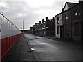
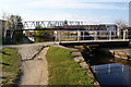
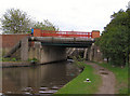
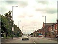
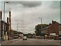
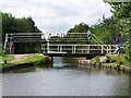
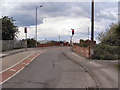
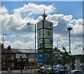
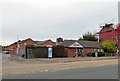
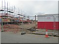
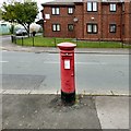
100 photos from this area
Area Information
Key information about the M11 1JE including its size, population, and administrative classification.
- Area Type
- Postcode
- Area Size
- 3736 m²
- Population
- 1851
- Population Density
- 5784 people/km²
House Prices in M11 1JE
21
Properties
£141,524
Average Sold Price
£109,995
Lowest Price
£170,950
Highest Price
Showing 21 properties
| Address | Type | Beds | Baths | Last Sale Price | Last Sale Date | |
|---|---|---|---|---|---|---|
| 25 Silverlace Avenue, Manchester, M11 1JE | house | 2 | 2 | £128,000 | Feb 2021 | |
| 59 Silverlace Avenue, Manchester, M11 1JE | house | - | - | £109,995 | Jun 2011 | |
| 47 Silverlace Avenue, Manchester, M11 1JE | Bungalow | - | - | £118,440 | Nov 2010 | |
| 57 Silverlace Avenue, Manchester, M11 1JE | Terraced | 3 | 2 | £149,950 | Jul 2010 | |
| 45 Silverlace Avenue, Manchester, M11 1JE | Terraced | 3 | 2 | £149,950 | May 2010 | |
| 61 Silverlace Avenue, Manchester, M11 1JE | house | - | - | £170,950 | May 2010 | |
| 51 Silverlace Avenue, Manchester, M11 1JE | house | - | - | £145,000 | Apr 2010 | |
| 21 Silverlace Avenue, Manchester, M11 1JE | house | - | - | £161,450 | Jan 2010 | |
| 43 Silverlace Avenue, Manchester, M11 1JE | house | - | - | £143,108 | Dec 2009 | |
| 55 Silverlace Avenue, Manchester, M11 1JE | Terraced | - | - | £145,000 | Dec 2009 |
Page 1 of 3
Energy Efficiency in M11 1JE
Amenities
Schools
| Rank | School | Type | Entry gender | Ages |
|---|
Explore more schools in this area
Go to Schools tabDemographics
Household Size
Family (3-5 people)
most common
Accommodation Type
Houses
most common
Tenure
41
majority
Ethnic Group
White
most common
Religion
N/A
most common
Household Composition
N/A
most common
Age
47
median
Adults (30-64 years)
most common
Household Deprivation
N/A
with no deprivation
NS-SEC
20
in Lower managerial occupations
Explore more demographic insights in this area
Go to Demographics tabPlanning
Planning Constraints
- Flood RiskPremium
- Ramsar Wetland SitesPremium
- Area of Outstanding Natural BeautyPremium
- Protected Nature ReservePremium
- Protected WoodlandPremium