Area Overview for M11 1HL
Photos of M11 1HL

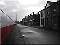
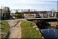
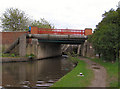

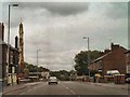
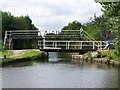
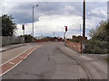
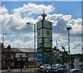
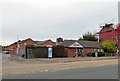
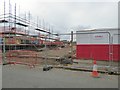
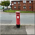
100 photos from this area
Area Information
Key information about the M11 1HL including its size, population, and administrative classification.
- Area Type
- Postcode
- Area Size
- 1.3 hectares
- Population
- 1917
- Population Density
- 7163 people/km²
House Prices in M11 1HL
77
Properties
£123,297
Average Sold Price
£52,000
Lowest Price
£182,000
Highest Price
Showing 77 properties
| Address | Type | Beds | Baths | Last Sale Price | Last Sale Date | |
|---|---|---|---|---|---|---|
| 1446 Ashton Old Road, Manchester, M11 1HL | Terraced | 3 | 1 | £145,000 | Jul 2020 | |
| 1426 Ashton Old Road, Manchester, M11 1HL | house | - | - | £170,000 | Jan 2019 | |
| 1428 Ashton Old Road, Manchester, M11 1HL | Terraced | 5 | 2 | £182,000 | Jul 2018 | |
| 1478 Ashton Old Road, Manchester, M11 1HL | house | - | - | £135,000 | Jul 2018 | |
| 1444 Ashton Old Road, Manchester, M11 1HL | Terraced | 3 | 1 | £138,000 | Jan 2017 | |
| 1440 Ashton Old Road, Manchester, M11 1HL | house | 6 | 6 | £129,000 | Feb 2016 | |
| 1492 Ashton Old Road, Manchester, M11 1HL | Terraced | 4 | 2 | £115,500 | Sep 2015 | |
| 1472 Ashton Old Road, Manchester, M11 1HL | Terraced | 3 | 1 | £129,950 | Aug 2014 | |
| 1462 Ashton Old Road, Manchester, M11 1HL | house | - | - | £118,000 | Dec 2011 | |
| 1488 Ashton Old Road, Manchester, M11 1HL | house | 4 | - | £108,000 | Mar 2011 |
Page 1 of 8
Energy Efficiency in M11 1HL
Amenities
Schools
| Rank | School | Type | Entry gender | Ages |
|---|
Explore more schools in this area
Go to Schools tabDemographics
Household Size
Family (3-5 people)
most common
Accommodation Type
Houses
most common
Tenure
64
majority
Ethnic Group
White
most common
Religion
N/A
most common
Household Composition
N/A
most common
Age
47
median
Adults (30-64 years)
most common
Household Deprivation
N/A
with no deprivation
NS-SEC
28
in Lower managerial occupations
Explore more demographic insights in this area
Go to Demographics tabPlanning
Planning Constraints
- Flood RiskPremium
- Ramsar Wetland SitesPremium
- Area of Outstanding Natural BeautyPremium
- Protected Nature ReservePremium
- Protected WoodlandPremium