Area Overview for M1 7JG
Photos of M1 7JG
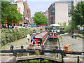
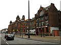
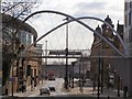
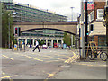
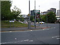
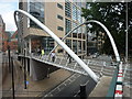
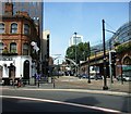
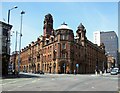

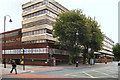
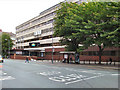
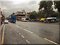
100 photos from this area
Area Information
Key information about the M1 7JG including its size, population, and administrative classification.
- Area Type
- Postcode
- Area Size
- 2.6 hectares
- Population
- 1052
- Population Density
- 5494 people/km²
House Prices in M1 7JG
33
Properties
£136,919
Average Sold Price
£40,931
Lowest Price
£242,500
Highest Price
Showing 33 properties
| Address | Type | Beds | Baths | Last Sale Price | Last Sale Date | |
|---|---|---|---|---|---|---|
| 15 Lockton Close, Manchester, M1 7JG | Maisonette | 3 | - | £242,500 | Aug 2023 | |
| 45 Lockton Close, Manchester, M1 7JG | Flat | - | - | £156,000 | May 2023 | |
| 27 Lockton Close, Manchester, M1 7JG | Flat | 3 | 1 | £200,000 | Dec 2022 | |
| 1 Lockton Close, Manchester, M1 7JG | Flat | 3 | 1 | £155,000 | Oct 2017 | |
| 41 Lockton Close, Manchester, M1 7JG | Maisonette | 3 | - | £59,000 | Jun 2012 | |
| 39 Lockton Close, Manchester, M1 7JG | Maisonette | - | - | £105,000 | Sep 2010 | |
| 31 Lockton Close, Manchester, M1 7JG | Flat | 3 | 1 | £40,931 | Jan 2006 | |
| 21 Lockton Close, Manchester, M1 7JG | Maisonette | - | - | - | - | |
| 17 Lockton Close, Manchester, M1 7JG | Maisonette | - | - | - | - | |
| 43 Lockton Close, Manchester, M1 7JG | Maisonette | - | - | - | - |
Page 1 of 4
Energy Efficiency in M1 7JG
Amenities
Schools
| Rank | School | Type | Entry gender | Ages |
|---|
Explore more schools in this area
Go to Schools tabDemographics
Household Size
One person
most common
Accommodation Type
Flats
most common
Tenure
16
majority
Ethnic Group
White
most common
Religion
N/A
most common
Household Composition
N/A
most common
Age
47
median
Adults (30-64 years)
most common
Household Deprivation
N/A
with no deprivation
NS-SEC
20
in Lower managerial occupations
Explore more demographic insights in this area
Go to Demographics tabPlanning
Planning Constraints
- Flood RiskPremium
- Ramsar Wetland SitesPremium
- Area of Outstanding Natural BeautyPremium
- Protected Nature ReservePremium
- Protected WoodlandPremium