Area Overview for Lydiate
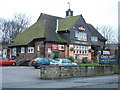
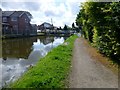
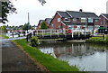
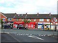
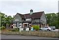
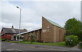
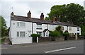
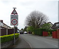
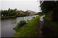
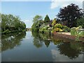
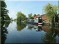
Photos of Lydiate

Area Information
Lydiate is a built-up area spanning just 1.6 km² in England. Despite its small geographical footprint, it functions as a distinct community. Living in Lydiate offers convenience while maintaining a residential character. You will find yourself in a compact neighbourhood where daily needs are accessible. The area's size means you can traverse it quickly on foot or by bicycle without unnecessary travel. This location sits within the broader Maghull urban cluster, providing a balance between local intimacy and regional connectivity. Residents enjoy a settled environment where the built environment defines the experience. The distinct nature of Lydiate comes from its established infrastructure and specific local identity. You are close to major transport hubs while retaining a separate sense of place. The area supports a stable way of life for those who settle here. It is defined by practical living rather than grand expansion. Your day-to-day existence involves engaging with a well-established community footprint.
- Area Type
- Built Up Area 250
- Area Size
- 1.6 km²
- Population
- Not available
- Population Density
- Not available
Daily life in Lydiate revolves around a cluster of practical amenities within easy reach. You will find five retail outlets nearby, led by Sainsburys Maghull, Morrisons Maghull, and Co-op Deyes. These supermarkets form the backbone of your weekly shopping routine for groceries and household goods. The area has five railway stations located nearby, offering convenient station access for your daily commute. Maghull North Railway Station, Maghull Railway Station, and Town Green Railway Station define the transport landscape. If you require air travel, RAF Woodvale stands as a local point of reference. You enjoy a mix of retail convenience and transport accessibility without needing to travel far. The proximity of specific venues like Morissons Maghull means you do not require a car for basic errands. Your lifestyle is supported by these fixed points of commerce and transit. The area functions as a self-contained hub where essential services are physically close. This layout saves time and reduces the need for long-distance journeys.
Amenities
Schools
Families living in Lydiate benefit from a village of primary education options. You have access to Lydiate Primary School and Lydiate Junior School, which serve the immediate locality. Northway Primary School offers another educational choice within the neighbourhood. St Gregory's Catholic Primary School is available with a good Ofsted rating. St Thomas Church of England Primary School also operates in the area. St Gregory's Catholic Primary School holds a good Ofsted rating, providing reassurance on educational standards. While not all schools in the list have published Ofsted ratings in the source data, those that do feature high marks. The concentration of primary institutions indicates the area caters to young families or those moving children through lower education stages before they transfer elsewhere. Most children in Lydiate attend local primary schools rather than secondary institutions within the immediate vicinity. The presence of multiple schools ensures you have immediate options regardless of specific admission requirements.
| Rank | School | Type | Entry gender | Ages |
|---|
Explore more schools in this area
Go to Schools tabDemographics
The community in Lydiate has a clear profile. The median age is 70, placing it among the older residential zones in the country. Most residents fall into the older age bracket, indicating a retirement or established household population. You will find that 86% of households own their homes, which signifies deep community roots and financial stability. This high ownership rate shapes the demographic landscape significantly. The area does not feature a large rental market, as the majority of homes are in owner-occupied hands. Diversity in household composition reflects this stable, long-term settlement pattern. Accommodation types generally align with the needs of older, established families or retirees who have invested locally for generations. The social fabric is defined by this strong sense of ownership and longevity. You should expect a neighbourhood where residents have lived for decades rather than short-term leases. The population dynamics create a quiet, consistent atmosphere where change happens slowly. Every statistic points to a mature, settled society with little migration turnover.