Area Overview for Little Neston Ward
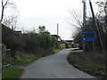
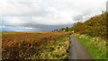
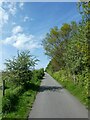
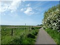
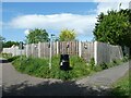
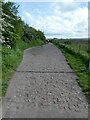
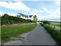
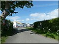
Photos of Little Neston Ward
Area Information
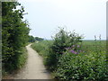
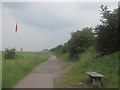
Living in Little Neston Ward defines a specific type of established residential experience within Cheshire West and Chester. This district borough unitary ward covers a compact area of exactly 10.0 km², creating a tight-kitted community where daily routines often rely on proximity rather than extensive travel. The character of this neighbourhood is shaped by its older demographic profile and high rate of resident ownership, which suggests stability and long-term settlement patterns. You are entering a location where the population is成熟的, with a median age of 70 years old. This figure indicates that the local infrastructure and social groups cater primarily to retirees or semi-retired households. Daily life here moves at a pace dictated by this settlement rather than the commuter rush typical of younger urban zones. The space is defined by a clear boundary between living areas and the natural features that surround them, such as protected nature reserves. For buyers, understanding that this is a ward specifically designed for quiet living is the first step. The environment is not a generic sprawl but a contained community where the knwoledge of local history and the presence of specific conservation sites shapes the visual landscape. Most residents will know their neighbours, as there is little turnover compared to more volatile housing markets.
- Area Type
- District Borough Unitary Ward
- Area Size
- 10.0 km²
- Population
- Not available
- Population Density
- Not available
Demographics
The community makeup of Little Neston Ward is dominated by older residents, reflected clearly in the median age of 70. This statistic signals a neighbourhood where families with young children or owners raising teenagers are likely outnumbered by elderly couples or single adults. The household composition aligns with this profile, creating a social fabric built around retirement, leisure, and established routines. Home ownership stands at 81 per cent within the ward, a figure that effectively classifies this as a settled, owner-occupied area rather than a transient rental market. Only 19 per cent of residents do not own their homes, highlighting a culture where property ownership is the norm. You will find few large private estates or young professional clusters here. The accommodation type reflects decades of development, with a high concentration of established housing rather than new builds. This density of ownership creates a sense of permanence; residents are less likely to move frequently because they have a direct stake in the property's value and maintenance. For a homebuyer, this means purchasing a home here is often buying into a legacy rather than a speculative investment. The demographic reality ensures that services are tailored to older needs, from local amenities to community support structures.
Household Size
Accommodation Type
Tenure
Ethnic Group
Religion
Household Composition
Age
Household Deprivation
NS-SEC
Explore more demographic insights in this area
Go to Demographics tabPlanning
Planning Constraints
- Flood RiskPremium
- Ramsar Wetland SitesPremium
- Area of Outstanding Natural BeautyPremium
- Protected Nature ReservePremium
- Protected WoodlandPremium
- Crime RiskPremium