Area Overview for Levenshulme Ward
Photos of Levenshulme Ward
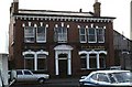
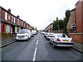
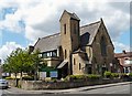
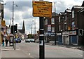
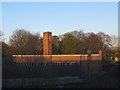
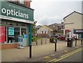
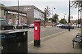
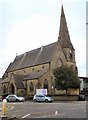
Area Information
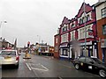
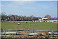
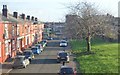
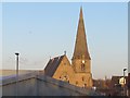
Levenshulme Ward occupies a compact 2.5 km² in the south-east part of Manchester, encompassing a community of 2,137 residents. This former township was incorporated into the city in 1909 and holds historical significance as a dependency of Withington. The area derives its name from Old Norse, meaning "Leofwine's island," referencing marshland geography that no longer exists in its original form. Today, the ward features a fine Edwardian high street stretching from Matthews Lane to the Broom Lane junction, showcasing the district's architectural heritage. Despite historical fluctuations, the neighbourhood displays signs of regeneration and is regarded as an area gaining momentum. St Peter's Church, consecrated in 1860, stands prominently on Stockport Road, while the renovated Highfield Park offers green space transformed from wasteland in 2004. Residents enjoy access to Levenshulme Library, which opened in 1904, alongside several other churches and community sites. The population density reaches 847 people per square kilometre, creating a suburban environment with an urban feel. You can expect a specific, grounded everyday life here, far removed from generic suburbia. The ward remains an urban-suburban neighbourhood where daily rhythms are shaped by its Manchester location and rich local history.
- Area Type
- District Borough Unitary Ward
- Area Size
- 2.5 km²
- Population
- 2137
- Population Density
- 847 people/km²
Demographics
The community profile in Levenshulme Ward reveals a mature population, with a median age of 70. This age distribution indicates that the local residents are predominantly older adults, contrasting with the younger demographics found in many trending city locations. Nearly half of the households, at 48%, are owner-occupied, suggesting a significant portion of the population has secured their homes. The remaining households involve mixed arrangements, ranging from renting to shared living situations. The Diversity Index for dominant ethnic groups and household composition data are not detailed in the current records, so you cannot assume a specific cultural majority beyond the fundamental settlement patterns. Instead, the demographic snapshot points toward a stable, older tenure base rather than a transient, youthful workforce. This profile influences the local demand for housing services and community facilities. When considering living in Levenshulme, you must account for an ageing population that likely values established neighbourhoods over rapid change. The lack of specific data on deprivation or school attendance means you cannot quantify economic disparity or educational access directly, but the age factor is the strongest statistical signal. The area reflects a settled community where property ownership is common among residents.
Household Size
Accommodation Type
Tenure
Ethnic Group
Religion
Household Composition
Age
Household Deprivation
NS-SEC
Explore more demographic insights in this area
Go to Demographics tabPlanning
Planning Constraints
- Flood RiskPremium
- Ramsar Wetland SitesPremium
- Area of Outstanding Natural BeautyPremium
- Protected Nature ReservePremium
- Protected WoodlandPremium