Area Overview for LA9 6LN
Photos of LA9 6LN

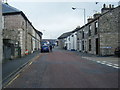
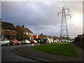
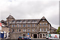

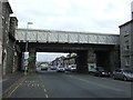
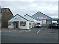
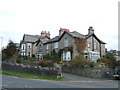
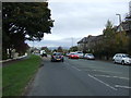
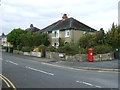
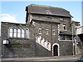
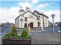
54 photos from this area
Area Information
Key information about the LA9 6LN including its size, population, and administrative classification.
- Area Type
- Postcode
- Area Size
- 1.5 hectares
- Population
- 1780
- Population Density
- 835 people/km²
House Prices in LA9 6LN
37
Properties
£152,938
Average Sold Price
£75,000
Lowest Price
£283,125
Highest Price
Showing 37 properties
| Address | Type | Beds | Baths | Last Sale Price | Last Sale Date | |
|---|---|---|---|---|---|---|
| 102 Grasmere Crescent, Kendal, LA9 6LN | Terraced | 3 | 1 | £283,125 | Nov 2025 | |
| 68 Grasmere Crescent, Kendal, LA9 6LN | house | 2 | 1 | £240,000 | Oct 2024 | |
| 39 Grasmere Crescent, Kendal, LA9 6LN | Flat | - | - | £135,000 | Apr 2024 | |
| 100 Grasmere Crescent, Kendal, LA9 6LN | house | 3 | 1 | £210,000 | Oct 2023 | |
| 86 Grasmere Crescent, Kendal, LA9 6LN | Semi-detached | 3 | 1 | £240,000 | Jul 2023 | |
| 96 Grasmere Crescent, Kendal, LA9 6LN | house | - | - | £178,500 | Jul 2019 | |
| 66 Grasmere Crescent, Kendal, LA9 6LN | Terraced | 3 | 1 | £180,000 | Jun 2018 | |
| 70 Grasmere Crescent, Kendal, LA9 6LN | house | - | - | £153,000 | Jun 2015 | |
| 78 Grasmere Crescent, Kendal, LA9 6LN | Semi-detached | 2 | - | £122,000 | Apr 2014 | |
| 90 Grasmere Crescent, Kendal, LA9 6LN | Detached | 2 | 1 | £138,000 | Sep 2012 |
Page 1 of 4
Energy Efficiency in LA9 6LN
Amenities
Schools
| Rank | School | Type | Entry gender | Ages |
|---|
Explore more schools in this area
Go to Schools tabDemographics
Household Size
Two person
most common
Accommodation Type
Houses
most common
Tenure
79
majority
Ethnic Group
White
most common
Religion
N/A
most common
Household Composition
N/A
most common
Age
47
median
Adults (30-64 years)
most common
Household Deprivation
N/A
with no deprivation
NS-SEC
30
in Lower managerial occupations
Explore more demographic insights in this area
Go to Demographics tabPlanning
Planning Constraints
- Flood RiskPremium
- Ramsar Wetland SitesPremium
- Area of Outstanding Natural BeautyPremium
- Protected Nature ReservePremium
- Protected WoodlandPremium