Area Overview for LA9 6DG
Photos of LA9 6DG

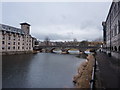
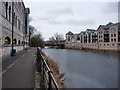
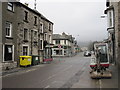

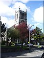
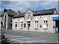
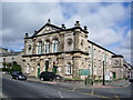
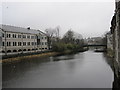
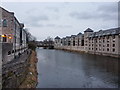
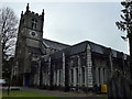
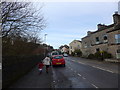
100 photos from this area
Area Information
Key information about the LA9 6DG including its size, population, and administrative classification.
- Area Type
- Postcode
- Area Size
- 9560 m²
- Population
- 2111
- Population Density
- 875 people/km²
House Prices in LA9 6DG
37
Properties
£137,777
Average Sold Price
£97,500
Lowest Price
£175,100
Highest Price
Showing 37 properties
| Address | Type | Beds | Baths | Last Sale Price | Last Sale Date | |
|---|---|---|---|---|---|---|
| 33 Mint Dale, Kendal, LA9 6DG | house | - | - | £140,000 | Aug 2021 | |
| 30 Mint Dale, Kendal, LA9 6DG | Terraced | 3 | 1 | £175,100 | Aug 2021 | |
| 43 Mint Dale, Kendal, LA9 6DG | house | - | - | £120,000 | Nov 2020 | |
| 35 Mint Dale, Kendal, LA9 6DG | house | - | - | £162,000 | Nov 2020 | |
| 21 Mint Dale, Kendal, LA9 6DG | house | 2 | 1 | £152,500 | Jul 2019 | |
| 23 Mint Dale, Kendal, LA9 6DG | Terraced | 3 | 1 | £150,000 | Aug 2018 | |
| 31 Mint Dale, Kendal, LA9 6DG | Terraced | 3 | 2 | £150,000 | Nov 2017 | |
| 26 Mint Dale, Kendal, LA9 6DG | Terraced | 2 | 1 | £153,000 | Sep 2017 | |
| 29 Mint Dale, Kendal, LA9 6DG | house | 3 | - | £115,000 | Sep 2011 | |
| 12 Mint Dale, Kendal, LA9 6DG | house | - | - | £152,500 | Nov 2009 |
Page 1 of 4
Energy Efficiency in LA9 6DG
Amenities
Schools
| Rank | School | Type | Entry gender | Ages |
|---|
Explore more schools in this area
Go to Schools tabDemographics
Household Size
Two person
most common
Accommodation Type
Houses
most common
Tenure
76
majority
Ethnic Group
White
most common
Religion
N/A
most common
Household Composition
N/A
most common
Age
47
median
Adults (30-64 years)
most common
Household Deprivation
N/A
with no deprivation
NS-SEC
35
in Lower managerial occupations
Explore more demographic insights in this area
Go to Demographics tabPlanning
Planning Constraints
- Flood RiskPremium
- Ramsar Wetland SitesPremium
- Area of Outstanding Natural BeautyPremium
- Protected Nature ReservePremium
- Protected WoodlandPremium