Area Overview for LA9 4RZ
Photos of LA9 4RZ
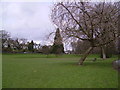
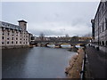
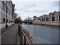
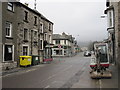
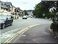
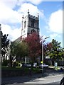
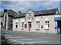
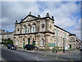
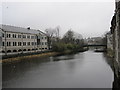
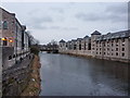
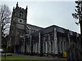
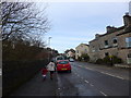
100 photos from this area
Area Information
Key information about the LA9 4RZ including its size, population, and administrative classification.
- Area Type
- Postcode
- Area Size
- 1.3 hectares
- Population
- 2277
- Population Density
- 2926 people/km²
House Prices in LA9 4RZ
37
Properties
£222,821
Average Sold Price
£96,500
Lowest Price
£425,000
Highest Price
Showing 37 properties
| Address | Type | Beds | Baths | Last Sale Price | Last Sale Date | |
|---|---|---|---|---|---|---|
| 57 Burneside Road, Kendal, LA9 4RZ | Detached | 2 | 2 | £232,000 | Jun 2025 | |
| 95 Burneside Road, Kendal, LA9 4RZ | Terraced | 2 | 1 | £195,250 | Aug 2024 | |
| 126 Burneside Road, Kendal, LA9 4RZ | Semi-detached | 3 | 1 | £270,000 | Oct 2023 | |
| 107 Burneside Road, Kendal, LA9 4RZ | Semi-detached | 2 | 1 | £290,000 | Jul 2023 | |
| 75 Burneside Road, Kendal, LA9 4RZ | house | - | - | £309,000 | Mar 2023 | |
| 87 Burneside Road, Kendal, LA9 4RZ | Terraced | 2 | 1 | £205,000 | Nov 2021 | |
| 124 Burneside Road, Kendal, LA9 4RZ | house | - | - | £425,000 | Feb 2021 | |
| 122 Burneside Road, Kendal, LA9 4RZ | Semi-detached | 5 | 3 | £355,000 | Sep 2019 | |
| 73 Burneside Road, Kendal, LA9 4RZ | Semi-detached | 3 | 1 | £251,000 | Nov 2017 | |
| 116 Burneside Road, Kendal, LA9 4RZ | house | - | - | £285,000 | Feb 2017 |
Page 1 of 4
Energy Efficiency in LA9 4RZ
Amenities
Schools
| Rank | School | Type | Entry gender | Ages |
|---|
Explore more schools in this area
Go to Schools tabDemographics
Household Size
One person
most common
Accommodation Type
Houses
most common
Tenure
73
majority
Ethnic Group
White
most common
Religion
N/A
most common
Household Composition
N/A
most common
Age
47
median
Adults (30-64 years)
most common
Household Deprivation
N/A
with no deprivation
NS-SEC
39
in Lower managerial occupations
Explore more demographic insights in this area
Go to Demographics tabPlanning
Planning Constraints
- Flood RiskPremium
- Ramsar Wetland SitesPremium
- Area of Outstanding Natural BeautyPremium
- Protected Nature ReservePremium
- Protected WoodlandPremium