Area Overview for LA9 4RL
Photos of LA9 4RL
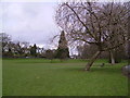
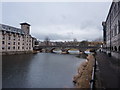
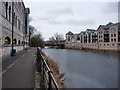
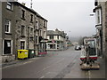
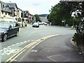
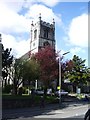
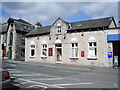
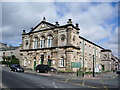
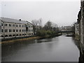
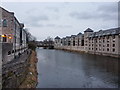
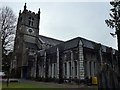
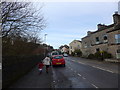
100 photos from this area
Area Information
Key information about the LA9 4RL including its size, population, and administrative classification.
- Area Type
- Postcode
- Area Size
- 1.2 hectares
- Population
- 2277
- Population Density
- 2926 people/km²
House Prices in LA9 4RL
56
Properties
£187,576
Average Sold Price
£45,000
Lowest Price
£350,500
Highest Price
Showing 56 properties
| Address | Type | Beds | Baths | Last Sale Price | Last Sale Date | |
|---|---|---|---|---|---|---|
| 36 Burneside Road, Kendal, LA9 4RL | Terraced | 2 | 1 | £304,250 | Aug 2025 | |
| 15 Burneside Road, Kendal, LA9 4RL | Terraced | 3 | 1 | £270,000 | Jun 2025 | |
| 10 Burneside Road, Kendal, LA9 4RL | Terraced | 3 | 1 | £218,000 | Feb 2025 | |
| 11 Burneside Road, Kendal, LA9 4RL | house | - | - | £195,000 | Mar 2024 | |
| 18 Burneside Road, Kendal, LA9 4RL | Terraced | 2 | 1 | £210,000 | Feb 2024 | |
| 56 Burneside Road, Kendal, LA9 4RL | Terraced | 2 | 1 | £282,500 | Oct 2023 | |
| 40 Burneside Road, Kendal, LA9 4RL | house | - | - | £309,000 | Jun 2023 | |
| 44 Burneside Road, Kendal, LA9 4RL | house | - | - | £300,000 | Nov 2022 | |
| 54 Burneside Road, Kendal, LA9 4RL | Semi-detached | 3 | 2 | £292,500 | Nov 2021 | |
| 29 Burneside Road, Kendal, LA9 4RL | Terraced | 4 | 1 | £350,500 | Sep 2021 |
Page 1 of 6
Energy Efficiency in LA9 4RL
Amenities
Schools
| Rank | School | Type | Entry gender | Ages |
|---|
Explore more schools in this area
Go to Schools tabDemographics
Household Size
One person
most common
Accommodation Type
Houses
most common
Tenure
73
majority
Ethnic Group
White
most common
Religion
N/A
most common
Household Composition
N/A
most common
Age
47
median
Adults (30-64 years)
most common
Household Deprivation
N/A
with no deprivation
NS-SEC
39
in Lower managerial occupations
Explore more demographic insights in this area
Go to Demographics tabPlanning
Planning Constraints
- Flood RiskPremium
- Ramsar Wetland SitesPremium
- Area of Outstanding Natural BeautyPremium
- Protected Nature ReservePremium
- Protected WoodlandPremium