Area Overview for LA9 4PE
Photos of LA9 4PE
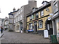
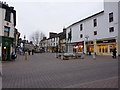
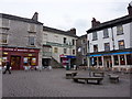
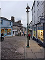
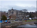
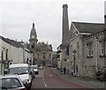
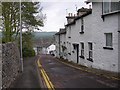
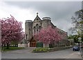
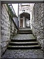
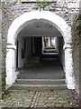
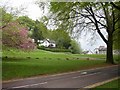
100 photos from this area
Area Information
Key information about the LA9 4PE including its size, population, and administrative classification.
- Area Type
- Postcode
- Area Size
- 6836 m²
- Population
- 2061
- Population Density
- 1506 people/km²
House Prices in LA9 4PE
26
Properties
£189,547
Average Sold Price
£55,000
Lowest Price
£485,000
Highest Price
Showing 26 properties
| Address | Type | Beds | Baths | Last Sale Price | Last Sale Date | |
|---|---|---|---|---|---|---|
| 37A Serpentine Road, Kendal, LA9 4PE | Maisonette | - | - | £115,000 | May 2024 | |
| 45 Serpentine Road, Kendal, LA9 4PE | Terraced | 2 | 1 | £250,000 | Dec 2022 | |
| 39 Serpentine Road, Kendal, LA9 4PE | Maisonette | 1 | 1 | £190,000 | Apr 2022 | |
| 51 Serpentine Road, Kendal, LA9 4PE | Terraced | 2 | 1 | £227,500 | Aug 2019 | |
| 57 Serpentine Road, Kendal, LA9 4PE | house | - | - | £202,929 | Jul 2019 | |
| 53 Serpentine Road, Kendal, LA9 4PE | Terraced | 2 | 1 | £162,500 | Apr 2018 | |
| 12 Serpentine Road, Kendal, LA9 4PE | Terraced | 5 | 2 | £220,500 | Nov 2015 | |
| 47 Serpentine Road, Kendal, LA9 4PE | Terraced | 2 | 1 | £189,500 | Apr 2014 | |
| 4 Serpentine Road, Kendal, LA9 4PE | Terraced | - | - | £160,000 | Apr 2014 | |
| Hillside Villa, Serpentine Road, Kendal, LA9 4PE | house | 4 | - | £205,000 | Mar 2012 |
Page 1 of 3
Energy Efficiency in LA9 4PE
Amenities
Schools
| Rank | School | Type | Entry gender | Ages |
|---|
Explore more schools in this area
Go to Schools tabDemographics
Household Size
One person
most common
Accommodation Type
Houses
most common
Tenure
55
majority
Ethnic Group
White
most common
Religion
N/A
most common
Household Composition
N/A
most common
Age
47
median
Adults (30-64 years)
most common
Household Deprivation
N/A
with no deprivation
NS-SEC
40
in Lower managerial occupations
Explore more demographic insights in this area
Go to Demographics tabPlanning
Planning Constraints
- Flood RiskPremium
- Ramsar Wetland SitesPremium
- Area of Outstanding Natural BeautyPremium
- Protected Nature ReservePremium
- Protected WoodlandPremium