Area Overview for LA8 9BU
Photos of LA8 9BU
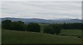
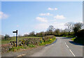
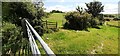
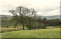
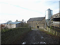
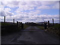
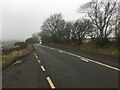
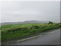
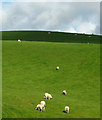
10 photos from this area
Area Information
Key information about the LA8 9BU including its size, population, and administrative classification.
- Area Type
- Postcode
- Area Size
- 1.7 km²
- Population
- 2317
- Population Density
- 12 people/km²
House Prices in LA8 9BU
39
Properties
£299,273
Average Sold Price
£45,000
Lowest Price
£670,000
Highest Price
Showing 39 properties
| Address | Type | Beds | Baths | Last Sale Price | Last Sale Date | |
|---|---|---|---|---|---|---|
| Grayrigg House, Grayrigg, Kendal, LA8 9BU | Detached | 4 | 2 | £670,000 | Dec 2023 | |
| Anvil Cottage, Grayrigg, Kendal, LA8 9BU | Bungalow | 3 | - | £425,000 | Jun 2021 | |
| Varrabrant, Grayrigg, Kendal, LA8 9BU | house | 3 | 2 | £290,000 | Nov 2019 | |
| Fields End, Grayrigg, Kendal, LA8 9BU | house | - | - | £370,000 | Apr 2019 | |
| The Old Vicarage, Grayrigg, Kendal, LA8 9BU | Detached | 3 | 2 | £365,000 | Oct 2018 | |
| The Vicarage, Grayrigg, Kendal, LA8 9BU | Detached | 4 | - | £335,000 | Jun 2018 | |
| Green Acres, Grayrigg, Kendal, LA8 9BU | Bungalow | - | - | £320,000 | Dec 2015 | |
| Lambrigg View, Grayrigg, Kendal, LA8 9BU | Cottage | 3 | - | £200,000 | Dec 2014 | |
| 1, Stepping Stones, Grayrigg, Kendal, LA8 9BU | house | 3 | - | £212,000 | Sep 2010 | |
| Croft View, Grayrigg, Kendal, LA8 9BU | house | - | - | £60,000 | Dec 1998 |
Page 1 of 4
Energy Efficiency in LA8 9BU
Amenities
Schools
| Rank | School | Type | Entry gender | Ages |
|---|
Explore more schools in this area
Go to Schools tabDemographics
Household Size
Two person
most common
Accommodation Type
Houses
most common
Tenure
85
majority
Ethnic Group
White
most common
Religion
N/A
most common
Household Composition
N/A
most common
Age
47
median
Adults (30-64 years)
most common
Household Deprivation
N/A
with no deprivation
NS-SEC
39
in Lower managerial occupations
Explore more demographic insights in this area
Go to Demographics tabPlanning
Planning Constraints
- Flood RiskPremium
- Ramsar Wetland SitesPremium
- Area of Outstanding Natural BeautyPremium
- Protected Nature ReservePremium
- Protected WoodlandPremium