Area Overview for LA8 8PU
Photos of LA8 8PU
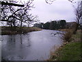
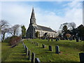
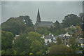
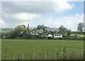
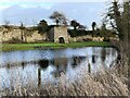
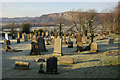
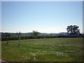
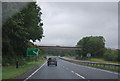
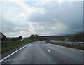
21 photos from this area
Area Information
Key information about the LA8 8PU including its size, population, and administrative classification.
- Area Type
- Postcode
- Area Size
- 3.7 hectares
- Population
- 1893
- Population Density
- 99 people/km²
House Prices in LA8 8PU
13
Properties
£296,250
Average Sold Price
£160,000
Lowest Price
£435,000
Highest Price
Showing 13 properties
| Address | Type | Beds | Baths | Last Sale Price | Last Sale Date | |
|---|---|---|---|---|---|---|
| Greengate House, Levens, Kendal, LA8 8PU | house | 3 | 2 | £435,000 | Mar 2021 | |
| The Old Court, Church Road, Levens, LA8 8PU | Detached | 4 | 1 | £375,000 | Jul 2015 | |
| 1 Church Road, Levens, LA8 8PU | Semi-detached | - | - | £215,000 | Aug 2008 | |
| Cook House, Church Road, Levens, LA8 8PU | Detached | - | - | £160,000 | Apr 1995 | |
| Green End, Church Road, Levens, LA8 8PU | Detached | 2 | 1 | - | - | |
| The Paddock, Church Road, Levens, LA8 8PU | Bungalow | 3 | 1 | - | - | |
| Tennis 100M From Scarview 68M From Levens Lane, Levens Lane, Levens, LA8 8PU | Leisure | - | - | - | - | |
| Deerholme, Church Road, Levens, LA8 8PU | house | - | - | - | - | |
| Mayfield, Church Road, Levens, LA8 8PU | Detached | - | - | - | - | |
| Beech Cottage, Church Road, Levens, LA8 8PU | house | - | - | - | - |
Page 1 of 2
Energy Efficiency in LA8 8PU
Amenities
Schools
| Rank | School | Type | Entry gender | Ages |
|---|
Explore more schools in this area
Go to Schools tabDemographics
Household Size
Two person
most common
Accommodation Type
Houses
most common
Tenure
83
majority
Ethnic Group
White
most common
Religion
N/A
most common
Household Composition
N/A
most common
Age
47
median
Adults (30-64 years)
most common
Household Deprivation
N/A
with no deprivation
NS-SEC
44
in Lower managerial occupations
Explore more demographic insights in this area
Go to Demographics tabPlanning
Planning Constraints
- Flood RiskPremium
- Ramsar Wetland SitesPremium
- Area of Outstanding Natural BeautyPremium
- Protected Nature ReservePremium
- Protected WoodlandPremium