Area Overview for LA8 8HJ
Photos of LA8 8HJ
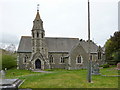
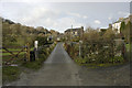
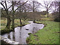
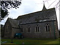
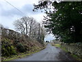
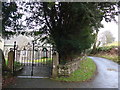
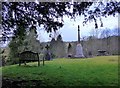
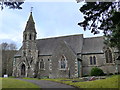
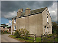
39 photos from this area
Area Information
Key information about the LA8 8HJ including its size, population, and administrative classification.
- Area Type
- Postcode
- Area Size
- 60.7 hectares
- Population
- 1875
- Population Density
- 46 people/km²
House Prices in LA8 8HJ
23
Properties
£324,800
Average Sold Price
£180,000
Lowest Price
£595,000
Highest Price
Showing 23 properties
| Address | Type | Beds | Baths | Last Sale Price | Last Sale Date | |
|---|---|---|---|---|---|---|
| Lynwood, Underbarrow, Kendal, LA8 8HJ | Bungalow | - | - | £595,000 | Dec 2010 | |
| Laneside, Underbarrow, Kendal, LA8 8HJ | Bungalow | 4 | 2 | £318,000 | Jun 2008 | |
| Scar View, Underbarrow, Kendal, LA8 8HJ | Detached | - | - | £351,000 | Oct 2004 | |
| Rockcliffe, Underbarrow, Kendal, LA8 8HJ | Detached | - | - | £180,000 | May 1999 | |
| Broomlea, Underbarrow, Kendal, LA8 8HJ | Bungalow | - | - | £180,000 | Jan 1999 | |
| Chapel House Cottage, Underbarrow, Kendal, LA8 8HJ | Semi-detached | 5 | 3 | - | - | |
| Nook Cottage, Underbarrow, Kendal, LA8 8HJ | Cottage | 3 | - | - | - | |
| 1, Chapel House Barn, Underbarrow, Kendal, LA8 8HJ | Terraced | - | - | - | - | |
| 2, Chapel House Barn, Underbarrow, Kendal, LA8 8HJ | Terraced | - | - | - | - | |
| Studio, Crispin Cottage, Underbarrow, Kendal, LA8 8HJ | Flat | - | - | - | - |
Page 1 of 3
Energy Efficiency in LA8 8HJ
Amenities
Schools
| Rank | School | Type | Entry gender | Ages |
|---|
Explore more schools in this area
Go to Schools tabDemographics
Household Size
Two person
most common
Accommodation Type
Houses
most common
Tenure
68
majority
Ethnic Group
White
most common
Religion
N/A
most common
Household Composition
N/A
most common
Age
47
median
Adults (30-64 years)
most common
Household Deprivation
N/A
with no deprivation
NS-SEC
35
in Lower managerial occupations
Explore more demographic insights in this area
Go to Demographics tabPlanning
Planning Constraints
- Flood RiskPremium
- Ramsar Wetland SitesPremium
- Area of Outstanding Natural BeautyPremium
- Protected Nature ReservePremium
- Protected WoodlandPremium