Area Overview for LA6 2DG
Photos of LA6 2DG
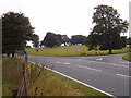
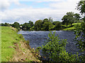
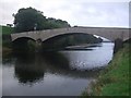
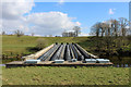
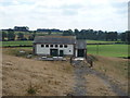
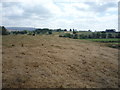
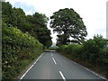
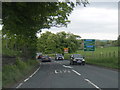
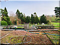
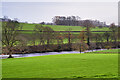
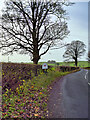
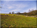
21 photos from this area
Area Information
Key information about the LA6 2DG including its size, population, and administrative classification.
- Area Type
- Postcode
- Area Size
- 1.4 km²
- Population
- 1137
- Population Density
- 18 people/km²
House Prices in LA6 2DG
7
Properties
£454,750
Average Sold Price
£300,000
Lowest Price
£546,250
Highest Price
Showing 7 properties
| Address | Type | Beds | Baths | Last Sale Price | Last Sale Date | |
|---|---|---|---|---|---|---|
| Sellet Mill Cottage, Mill Lane, Whittington, LA6 2DG | house | 3 | 2 | £518,000 | Sep 2025 | |
| The Barn, Sellet Mill, Mill Lane, Whittington, LA6 2DG | Flat | - | - | £300,000 | Mar 2025 | |
| Limekiln Cottage, Robraine, Kirkby Lonsdale, LA6 2DG | house | - | - | £546,250 | Apr 2007 | |
| Holme House Farm, Robraine, Kirkby Lonsdale, LA6 2DG | Detached | - | - | - | - | |
| The Flat, Sellet Mill, Mill Lane, Whittington, LA6 2DG | Flat | - | - | - | - | |
| Sellet Mill, Mill Lane, Whittington, LA6 2DG | Flat | - | - | - | - | |
| Mill Bank, Mill Lane, Whittington, LA6 2DG | house | - | - | - | - |
Energy Efficiency in LA6 2DG
Amenities
Schools
| Rank | School | Type | Entry gender | Ages |
|---|
Explore more schools in this area
Go to Schools tabDemographics
Household Size
Two person
most common
Accommodation Type
Houses
most common
Tenure
77
majority
Ethnic Group
White
most common
Religion
N/A
most common
Household Composition
N/A
most common
Age
47
median
Adults (30-64 years)
most common
Household Deprivation
N/A
with no deprivation
NS-SEC
41
in Lower managerial occupations
Explore more demographic insights in this area
Go to Demographics tabPlanning
Planning Constraints
- Flood RiskPremium
- Ramsar Wetland SitesPremium
- Area of Outstanding Natural BeautyPremium
- Protected Nature ReservePremium
- Protected WoodlandPremium