Area Overview for LA6 2BY
Photos of LA6 2BY
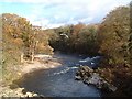
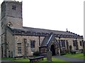
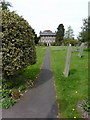
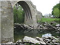
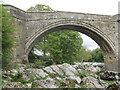
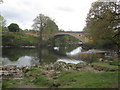
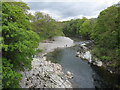
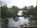
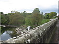
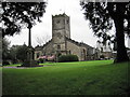
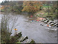
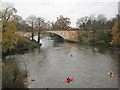
100 photos from this area
Area Information
Key information about the LA6 2BY including its size, population, and administrative classification.
- Area Type
- Postcode
- Area Size
- 1.1 hectares
- Population
- 1100
- Population Density
- 1379 people/km²
House Prices in LA6 2BY
25
Properties
£136,091
Average Sold Price
£32,000
Lowest Price
£245,000
Highest Price
Showing 25 properties
| Address | Type | Beds | Baths | Last Sale Price | Last Sale Date | |
|---|---|---|---|---|---|---|
| 1 Lunefield Drive, Kirkby Lonsdale, LA6 2BY | Semi-detached | 3 | 1 | £245,000 | Oct 2020 | |
| 9 Lunefield Drive, Kirkby Lonsdale, LA6 2BY | Semi-detached | 3 | 1 | £242,000 | Nov 2018 | |
| 7 Lunefield Drive, Kirkby Lonsdale, LA6 2BY | Semi-detached | 3 | 1 | £185,000 | Jul 2005 | |
| 8 Lunefield Drive, Kirkby Lonsdale, LA6 2BY | house | - | - | £165,000 | Jul 2005 | |
| 12 Lunefield Drive, Kirkby Lonsdale, LA6 2BY | house | - | - | £140,000 | Oct 2004 | |
| 11 Lunefield Drive, Kirkby Lonsdale, LA6 2BY | Terraced | - | - | £135,000 | Jul 2003 | |
| 15 Lunefield Drive, Kirkby Lonsdale, LA6 2BY | Terraced | - | - | £128,000 | Oct 2002 | |
| 18 Lunefield Drive, Kirkby Lonsdale, LA6 2BY | Terraced | - | - | £60,000 | Aug 2002 | |
| 16 Lunefield Drive, Kirkby Lonsdale, LA6 2BY | Terraced | - | - | £32,000 | Feb 2002 | |
| 1B Lunefield Drive, Kirkby Lonsdale, LA6 2BY | Semi-detached | - | - | £98,500 | Oct 2001 |
Page 1 of 3
Energy Efficiency in LA6 2BY
Amenities
Schools
| Rank | School | Type | Entry gender | Ages |
|---|
Explore more schools in this area
Go to Schools tabDemographics
Household Size
One person
most common
Accommodation Type
Houses
most common
Tenure
59
majority
Ethnic Group
White
most common
Religion
N/A
most common
Household Composition
N/A
most common
Age
47
median
Elderly (65+ years)
most common
Household Deprivation
N/A
with no deprivation
NS-SEC
39
in Lower managerial occupations
Explore more demographic insights in this area
Go to Demographics tabPlanning
Planning Constraints
- Flood RiskPremium
- Ramsar Wetland SitesPremium
- Area of Outstanding Natural BeautyPremium
- Protected Nature ReservePremium
- Protected WoodlandPremium