Area Overview for LA5 8AG
Photos of LA5 8AG
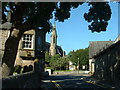
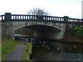
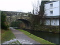
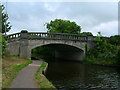
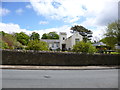
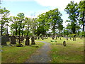
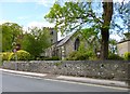
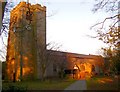
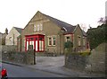
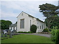
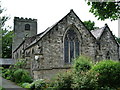
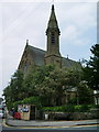
100 photos from this area
Area Information
Key information about the LA5 8AG including its size, population, and administrative classification.
- Area Type
- Postcode
- Area Size
- 1.9 hectares
- Population
- 1431
- Population Density
- 554 people/km²
House Prices in LA5 8AG
14
Properties
£270,100
Average Sold Price
£110,000
Lowest Price
£535,000
Highest Price
Showing 14 properties
| Address | Type | Beds | Baths | Last Sale Price | Last Sale Date | |
|---|---|---|---|---|---|---|
| 11 Slyne Road, Bolton Le Sands, LA5 8AG | Detached | 4 | 3 | £535,000 | Jul 2023 | |
| 27 Slyne Road, Bolton Le Sands, LA5 8AG | Retail | 3 | 1 | £274,000 | May 2022 | |
| 19 Slyne Road, Bolton Le Sands, LA5 8AG | Semi-detached | 3 | - | £310,000 | May 2019 | |
| 1 Slyne Road, Bolton Le Sands, LA5 8AG | Detached | 4 | 3 | £233,500 | Dec 2013 | |
| 15 Slyne Road, Bolton Le Sands, LA5 8AG | Semi-detached | 3 | 1 | £222,000 | Aug 2012 | |
| 23 Slyne Road, Bolton Le Sands, LA5 8AG | house | 3 | - | £178,000 | Mar 2012 | |
| 17 Slyne Road, Bolton Le Sands, LA5 8AG | house | - | - | £316,000 | Sep 2010 | |
| 3 Slyne Road, Bolton Le Sands, LA5 8AG | Detached | - | - | £317,500 | Feb 2006 | |
| 29 Slyne Road, Bolton Le Sands, LA5 8AG | Semi-detached | - | - | £110,000 | Jan 2003 | |
| 7 Slyne Road, Bolton Le Sands, LA5 8AG | Detached | - | - | £205,000 | Sep 2002 |
Page 1 of 2
Energy Efficiency in LA5 8AG
Amenities
Schools
| Rank | School | Type | Entry gender | Ages |
|---|
Explore more schools in this area
Go to Schools tabDemographics
Household Size
Two person
most common
Accommodation Type
Houses
most common
Tenure
85
majority
Ethnic Group
White
most common
Religion
N/A
most common
Household Composition
N/A
most common
Age
47
median
Adults (30-64 years)
most common
Household Deprivation
N/A
with no deprivation
NS-SEC
38
in Lower managerial occupations
Explore more demographic insights in this area
Go to Demographics tabPlanning
Planning Constraints
- Flood RiskPremium
- Ramsar Wetland SitesPremium
- Area of Outstanding Natural BeautyPremium
- Protected Nature ReservePremium
- Protected WoodlandPremium