Area Overview for LA5 8AD
Photos of LA5 8AD
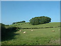
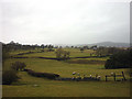
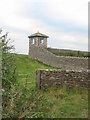
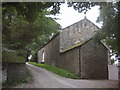
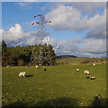
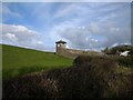
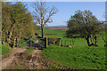
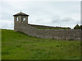
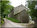
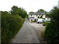
19 photos from this area
Area Information
Key information about the LA5 8AD including its size, population, and administrative classification.
- Area Type
- Postcode
- Area Size
- 1.3 km²
- Population
- 2280
- Population Density
- 55 people/km²
House Prices in LA5 8AD
11
Properties
£533,333
Average Sold Price
£375,000
Lowest Price
£725,000
Highest Price
Showing 11 properties
| Address | Type | Beds | Baths | Last Sale Price | Last Sale Date | |
|---|---|---|---|---|---|---|
| The Old Coach House, Mount Pleasant Lane, Bolton Le Sands, LA5 8AD | house | 4 | 2 | £725,000 | Sep 2021 | |
| 3, Hawksheads, Mount Pleasant Lane, Bolton Le Sands, LA5 8AD | Detached | - | - | £375,000 | May 2018 | |
| Foxfield Cottage, Mount Pleasant Lane, Bolton Le Sands, LA5 8AD | Detached | 4 | 2 | £500,000 | Nov 2012 | |
| Hawksheads Hall, Mount Pleasant Lane, Bolton Le Sands, LA5 8AD | Detached | 5 | 2 | - | - | |
| Front Lodge, Hawkshead, Mount Pleasant Lane, Bolton Le Sands, LA5 8AD | Bungalow | 5 | 3 | - | - | |
| Mount Pleasant, Mount Pleasant Lane, Bolton Le Sands, LA5 8AD | house | 6 | - | - | - | |
| Mount Pleasant Farm Bungalow, Mount Pleasant Lane, Carnforth, LA5 8AD | Bungalow | - | - | - | - | |
| Back Lodge, Mount Pleasant Lane, Bolton Le Sands, LA5 8AD | Bungalow | - | - | - | - | |
| Barn Field No 9579, Mount Pleasant Lane, Bolton Le Sands, LA5 8AD | Equestrian | - | - | - | - | |
| Coach House, Mount Pleasant Lane, Bolton Le Sands, LA5 8AD | Semi-detached | - | - | - | - |
Page 1 of 2
Energy Efficiency in LA5 8AD
Amenities
Schools
| Rank | School | Type | Entry gender | Ages |
|---|
Explore more schools in this area
Go to Schools tabDemographics
Household Size
Two person
most common
Accommodation Type
Houses
most common
Tenure
85
majority
Ethnic Group
White
most common
Religion
N/A
most common
Household Composition
N/A
most common
Age
47
median
Adults (30-64 years)
most common
Household Deprivation
N/A
with no deprivation
NS-SEC
39
in Lower managerial occupations
Explore more demographic insights in this area
Go to Demographics tabPlanning
Planning Constraints
- Flood RiskPremium
- Ramsar Wetland SitesPremium
- Area of Outstanding Natural BeautyPremium
- Protected Nature ReservePremium
- Protected WoodlandPremium