Area Overview for LA4 5NQ
Photos of LA4 5NQ
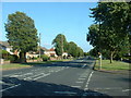
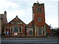
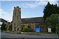
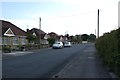
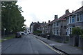
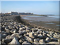
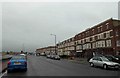
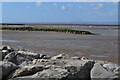
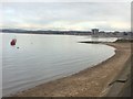
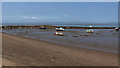
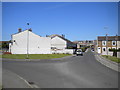
107 photos from this area
Area Information
Key information about the LA4 5NQ including its size, population, and administrative classification.
- Area Type
- Postcode
- Area Size
- 2.1 hectares
- Population
- 1417
- Population Density
- 5956 people/km²
House Prices in LA4 5NQ
41
Properties
£100,610
Average Sold Price
£29,250
Lowest Price
£199,000
Highest Price
Showing 41 properties
| Address | Type | Beds | Baths | Last Sale Price | Last Sale Date | |
|---|---|---|---|---|---|---|
| 16 Bellfield Road, Morecambe, LA4 5NQ | Semi-detached | 3 | 1 | £199,000 | Aug 2024 | |
| 26 Bellfield Road, Morecambe, LA4 5NQ | Bungalow | 2 | - | £170,000 | Apr 2024 | |
| 13 Bellfield Road, Morecambe, LA4 5NQ | house | - | - | £122,000 | Jan 2021 | |
| 29 Bellfield Road, Morecambe, LA4 5NQ | house | - | - | £172,500 | Nov 2020 | |
| 12 Bellfield Road, Morecambe, LA4 5NQ | Semi-detached | 3 | 2 | £140,000 | Nov 2018 | |
| 5 Bellfield Road, Morecambe, LA4 5NQ | Terraced | 2 | 1 | £104,000 | Apr 2017 | |
| 7 Bellfield Road, Morecambe, LA4 5NQ | house | - | - | £103,500 | Apr 2016 | |
| 3 Bellfield Road, Morecambe, LA4 5NQ | house | - | - | £80,500 | Mar 2012 | |
| 31 Bellfield Road, Morecambe, LA4 5NQ | house | - | - | £104,250 | May 2010 | |
| 18 Bellfield Road, Morecambe, LA4 5NQ | Flat | - | - | £56,250 | Sep 2008 |
Page 1 of 5
Energy Efficiency in LA4 5NQ
Amenities
Schools
| Rank | School | Type | Entry gender | Ages |
|---|
Explore more schools in this area
Go to Schools tabDemographics
Household Size
One person
most common
Accommodation Type
Houses
most common
Tenure
57
majority
Ethnic Group
White
most common
Religion
N/A
most common
Household Composition
N/A
most common
Age
47
median
Adults (30-64 years)
most common
Household Deprivation
N/A
with no deprivation
NS-SEC
23
in Lower managerial occupations
Explore more demographic insights in this area
Go to Demographics tabPlanning
Planning Constraints
- Flood RiskPremium
- Ramsar Wetland SitesPremium
- Area of Outstanding Natural BeautyPremium
- Protected Nature ReservePremium
- Protected WoodlandPremium