Area Overview for LA4 4PN
Photos of LA4 4PN
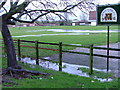
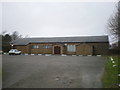
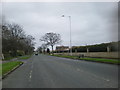
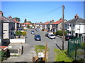
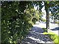
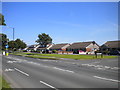
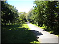
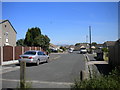
43 photos from this area
Area Information
Key information about the LA4 4PN including its size, population, and administrative classification.
- Area Type
- Postcode
- Area Size
- 3383 m²
- Population
- 1517
- Population Density
- 5779 people/km²
House Prices in LA4 4PN
7
Properties
£148,057
Average Sold Price
£79,950
Lowest Price
£210,000
Highest Price
Showing 7 properties
| Address | Type | Beds | Baths | Last Sale Price | Last Sale Date | |
|---|---|---|---|---|---|---|
| 37 Osborne Grove, Morecambe, LA4 4PN | Semi-detached | 3 | 1 | £210,000 | Mar 2024 | |
| 29 Osborne Grove, Morecambe, LA4 4PN | house | 2 | - | £168,000 | Dec 2022 | |
| 25 Osborne Grove, Morecambe, LA4 4PN | Semi-detached | 2 | - | £152,000 | Jul 2020 | |
| 31 Osborne Grove, Morecambe, LA4 4PN | Semi-detached | 2 | 1 | £159,000 | Aug 2019 | |
| 35 Osborne Grove, Morecambe, LA4 4PN | Semi-detached | 2 | 1 | £137,500 | Jul 2018 | |
| 33 Osborne Grove, Morecambe, LA4 4PN | Semi-detached | 3 | 1 | £129,950 | Jun 2016 | |
| 27 Osborne Grove, Morecambe, LA4 4PN | Bungalow | 2 | 1 | £79,950 | May 2003 |
Energy Efficiency in LA4 4PN
Amenities
Schools
| Rank | School | Type | Entry gender | Ages |
|---|
Explore more schools in this area
Go to Schools tabDemographics
Household Size
Family (3-5 people)
most common
Accommodation Type
Houses
most common
Tenure
80
majority
Ethnic Group
White
most common
Religion
N/A
most common
Household Composition
N/A
most common
Age
47
median
Adults (30-64 years)
most common
Household Deprivation
N/A
with no deprivation
NS-SEC
20
in Lower managerial occupations
Explore more demographic insights in this area
Go to Demographics tabPlanning
Planning Constraints
- Flood RiskPremium
- Ramsar Wetland SitesPremium
- Area of Outstanding Natural BeautyPremium
- Protected Nature ReservePremium
- Protected WoodlandPremium