Area Overview for LA23 2DL
Photos of LA23 2DL

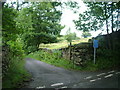
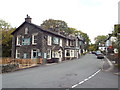
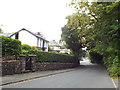


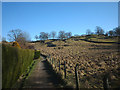
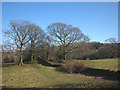
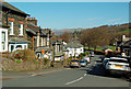
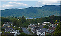
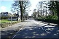
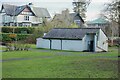
35 photos from this area
Area Information
Key information about the LA23 2DL including its size, population, and administrative classification.
- Area Type
- Postcode
- Area Size
- 1.5 hectares
- Population
- 2103
- Population Density
- 1265 people/km²
House Prices in LA23 2DL
12
Properties
£555,000
Average Sold Price
£250,000
Lowest Price
£920,000
Highest Price
Showing 12 properties
| Address | Type | Beds | Baths | Last Sale Price | Last Sale Date | |
|---|---|---|---|---|---|---|
| Stone Close, Victoria Road, Windermere, LA23 2DL | Detached | 4 | 1 | £690,000 | Aug 2025 | |
| Whim Howe, Victoria Road, Windermere, LA23 2DL | house | 6 | 3 | £920,000 | Apr 2024 | |
| Roydon, Victoria Road, Windermere, LA23 2DL | house | - | - | £360,000 | Sep 2020 | |
| Langholme, Victoria Road, Windermere, LA23 2DL | Semi-detached | - | - | £250,000 | Apr 2005 | |
| High Rigg, Victoria Road, Windermere, LA23 2DL | Detached | 5 | 1 | - | - | |
| The Laurels, Victoria Road, Windermere, LA23 2DL | Detached | - | - | - | - | |
| Glencoe, Victoria Road, Windermere, LA23 2DL | house | - | - | - | - | |
| Twin Oaks, Twin Oaks Residential Care Home, Victoria Road, Windermere, LA23 2DL | hospital_care_home | - | - | - | - | |
| Maple Grove, Victoria Road, Windermere, LA23 2DL | Terraced | - | - | - | - | |
| Twin Oaks Residential Care Home, Victoria Road, Windermere, LA23 2DL | Retirement | - | - | - | - |
Page 1 of 2
Energy Efficiency in LA23 2DL
Amenities
Schools
| Rank | School | Type | Entry gender | Ages |
|---|
Explore more schools in this area
Go to Schools tabDemographics
Household Size
Two person
most common
Accommodation Type
Houses
most common
Tenure
59
majority
Ethnic Group
White
most common
Religion
N/A
most common
Household Composition
N/A
most common
Age
47
median
Adults (30-64 years)
most common
Household Deprivation
N/A
with no deprivation
NS-SEC
23
in Lower managerial occupations
Explore more demographic insights in this area
Go to Demographics tabPlanning
Planning Constraints
- Flood RiskPremium
- Ramsar Wetland SitesPremium
- Area of Outstanding Natural BeautyPremium
- Protected Nature ReservePremium
- Protected WoodlandPremium