Area Overview for LA23 1EH
Photos of LA23 1EH
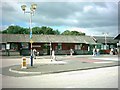
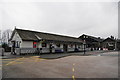
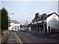
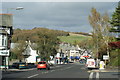
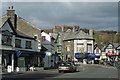
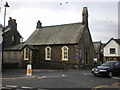
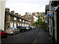
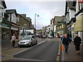
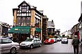
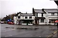
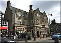
100 photos from this area
Area Information
Key information about the LA23 1EH including its size, population, and administrative classification.
- Area Type
- Postcode
- Area Size
- 2905 m²
- Population
- 2103
- Population Density
- 1265 people/km²
House Prices in LA23 1EH
12
Properties
£195,931
Average Sold Price
£70,000
Lowest Price
£359,950
Highest Price
Showing 12 properties
| Address | Type | Beds | Baths | Last Sale Price | Last Sale Date | |
|---|---|---|---|---|---|---|
| 2 Havelock Road, Windermere, LA23 1EH | house | 2 | 1 | £359,950 | Mar 2024 | |
| 34 Havelock Road, Windermere, LA23 1EH | house | - | - | £290,000 | Dec 2020 | |
| 4 Havelock Road, Windermere, LA23 1EH | Terraced | 4 | - | £220,000 | Feb 2019 | |
| 15 Havelock Road, Windermere, LA23 1EH | Terraced | 2 | 1 | £192,500 | Nov 2016 | |
| 28 Havelock Road, Windermere, LA23 1EH | Terraced | 2 | 1 | £122,500 | Oct 2016 | |
| 30 Havelock Road, Windermere, LA23 1EH | house | - | - | £182,500 | May 2007 | |
| 19 Havelock Road, Windermere, LA23 1EH | house | - | - | £130,000 | Oct 2004 | |
| Dow Cottage, 8 Havelock Road, Windermere, LA23 1EH | Terraced | 3 | 3 | £70,000 | Sep 2000 | |
| 3 Havelock Road, Windermere, LA23 1EH | house | - | - | - | - | |
| 3A Havelock Road, Windermere, LA23 1EH | Terraced | - | - | - | - |
Page 1 of 2
Energy Efficiency in LA23 1EH
Amenities
Schools
| Rank | School | Type | Entry gender | Ages |
|---|
Explore more schools in this area
Go to Schools tabDemographics
Household Size
Two person
most common
Accommodation Type
Houses
most common
Tenure
59
majority
Ethnic Group
White
most common
Religion
N/A
most common
Household Composition
N/A
most common
Age
47
median
Adults (30-64 years)
most common
Household Deprivation
N/A
with no deprivation
NS-SEC
23
in Lower managerial occupations
Explore more demographic insights in this area
Go to Demographics tabPlanning
Planning Constraints
- Flood RiskPremium
- Ramsar Wetland SitesPremium
- Area of Outstanding Natural BeautyPremium
- Protected Nature ReservePremium
- Protected WoodlandPremium