Area Overview for LA21 8DX
Photos of LA21 8DX
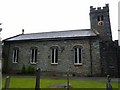
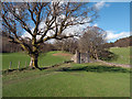
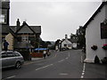
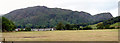
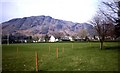
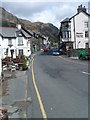
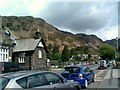
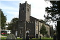
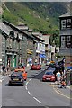
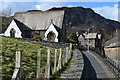
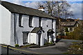
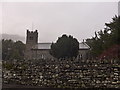
100 photos from this area
Area Information
Key information about the LA21 8DX including its size, population, and administrative classification.
- Area Type
- Postcode
- Area Size
- 3.4 hectares
- Population
- 1546
- Population Density
- 14 people/km²
House Prices in LA21 8DX
30
Properties
£234,156
Average Sold Price
£50,500
Lowest Price
£690,000
Highest Price
Showing 30 properties
| Address | Type | Beds | Baths | Last Sale Price | Last Sale Date | |
|---|---|---|---|---|---|---|
| New Vicarage, Yewdale Road, Coniston, LA21 8DX | house | - | - | £690,000 | Jul 2025 | |
| Beech Tree House, Yewdale Road, Coniston, LA21 8DX | house | - | - | £660,000 | Jun 2017 | |
| 1, Oak Howe Cottages, Yewdale Road, Coniston, LA21 8DX | Terraced | - | - | £50,500 | May 2004 | |
| 28 Yewdale Road, Coniston, LA21 8DX | Retail | 3 | - | £180,000 | Feb 2002 | |
| Oaklands, Yewdale Road, Coniston, LA21 8DX | house | - | - | £261,000 | Dec 1999 | |
| High View, Yewdale Road, Coniston, LA21 8DX | house | - | - | £75,000 | Sep 1999 | |
| 24 Yewdale Road, Coniston, LA21 8DX | Bungalow | - | - | £80,000 | Jul 1997 | |
| 20 Yewdale Road, Coniston, LA21 8DX | house | - | - | £55,950 | Feb 1997 | |
| 22 Yewdale Road, Coniston, LA21 8DX | Terraced | 2 | - | £54,950 | Feb 1997 | |
| Oak Howe, Yewdale Road, Coniston, LA21 8DX | Detached | 6 | - | - | - |
Page 1 of 3
Energy Efficiency in LA21 8DX
Amenities
Schools
| Rank | School | Type | Entry gender | Ages |
|---|
Explore more schools in this area
Go to Schools tabDemographics
Household Size
Two person
most common
Accommodation Type
Houses
most common
Tenure
66
majority
Ethnic Group
White
most common
Religion
N/A
most common
Household Composition
N/A
most common
Age
47
median
Adults (30-64 years)
most common
Household Deprivation
N/A
with no deprivation
NS-SEC
35
in Lower managerial occupations
Explore more demographic insights in this area
Go to Demographics tabPlanning
Planning Constraints
- Flood RiskPremium
- Ramsar Wetland SitesPremium
- Area of Outstanding Natural BeautyPremium
- Protected Nature ReservePremium
- Protected WoodlandPremium