Area Overview for LA11 7DR
Photos of LA11 7DR
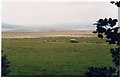
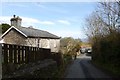

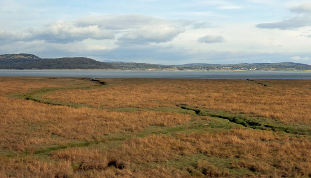
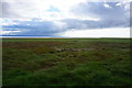
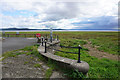
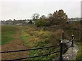
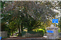
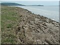
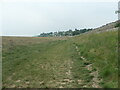
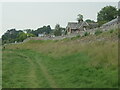
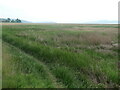
42 photos from this area
Area Information
Key information about the LA11 7DR including its size, population, and administrative classification.
- Area Type
- Postcode
- Area Size
- 32.6 hectares
- Population
- 1425
- Population Density
- 425 people/km²
House Prices in LA11 7DR
47
Properties
£128,278
Average Sold Price
£60,000
Lowest Price
£355,000
Highest Price
Showing 47 properties
| Address | Type | Beds | Baths | Last Sale Price | Last Sale Date | |
|---|---|---|---|---|---|---|
| 1A, 1 Thornfield Road, Grange Over Sands, LA11 7DR | Flat | 2 | 1 | £176,000 | Dec 2025 | |
| Lyn Crag, Thornfield Road, Grange Over Sands, LA11 7DR | house | - | - | £355,000 | Oct 2020 | |
| 18 Thornfield Road, Grange Over Sands, LA11 7DR | Maisonette | - | - | £103,000 | Apr 2017 | |
| 13 Thornfield Road, Grange Over Sands, LA11 7DR | Flat | 1 | 1 | £60,000 | May 2016 | |
| 20 Thornfield Road, Grange Over Sands, LA11 7DR | Flat | - | - | £105,000 | May 2016 | |
| 1B, 1 Thornfield Road, Grange Over Sands, LA11 7DR | Maisonette | 1 | 1 | £70,000 | Sep 2003 | |
| South Mead, Thornfield Road, Grange Over Sands, LA11 7DR | Detached | - | - | £105,000 | Mar 2000 | |
| Holland House, Thornfield Road, Grange Over Sands, LA11 7DR | house | - | - | £86,000 | Jun 1999 | |
| Melside, Thornfield Road, Grange Over Sands, LA11 7DR | Detached | - | - | £94,500 | Apr 1999 | |
| Flat 2, 2 Thornfield Road, Grange Over Sands, LA11 7DR | Flat | 2 | 1 | - | - |
Page 1 of 5
Energy Efficiency in LA11 7DR
Amenities
Schools
| Rank | School | Type | Entry gender | Ages |
|---|
Explore more schools in this area
Go to Schools tabDemographics
Household Size
Two person
most common
Accommodation Type
Houses
most common
Tenure
89
majority
Ethnic Group
White
most common
Religion
N/A
most common
Household Composition
N/A
most common
Age
70
median
Elderly (65+ years)
most common
Household Deprivation
N/A
with no deprivation
NS-SEC
48
in Lower managerial occupations
Explore more demographic insights in this area
Go to Demographics tabPlanning
Planning Constraints
- Flood RiskPremium
- Ramsar Wetland SitesPremium
- Area of Outstanding Natural BeautyPremium
- Protected Nature ReservePremium
- Protected WoodlandPremium