Area Overview for LA11 6JT
Photos of LA11 6JT
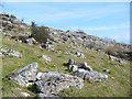
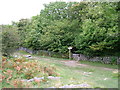
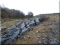
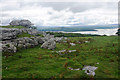
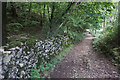
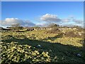
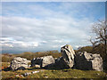
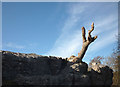
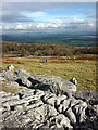
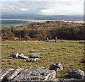
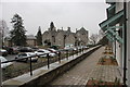
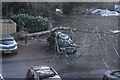
38 photos from this area
Area Information
Key information about the LA11 6JT including its size, population, and administrative classification.
- Area Type
- Postcode
- Area Size
- 69.5 hectares
- Population
- 1329
- Population Density
- 222 people/km²
House Prices in LA11 6JT
11
Properties
£416,220
Average Sold Price
£280,000
Lowest Price
£565,000
Highest Price
Showing 11 properties
| Address | Type | Beds | Baths | Last Sale Price | Last Sale Date | |
|---|---|---|---|---|---|---|
| Slack Cottage, Windermere Road, Grange Over Sands, LA11 6JT | Detached | - | - | £407,500 | Mar 2025 | |
| The Slack, Windermere Road, Grange Over Sands, LA11 6JT | Detached | 3 | - | £565,000 | Jan 2022 | |
| Woodedge, Windermere Road, Grange Over Sands, LA11 6JT | Detached | 2 | - | £305,000 | Nov 2019 | |
| Badgers Sett, Windermere Road, Grange Over Sands, LA11 6JT | Detached | 4 | 1 | £523,600 | Apr 2018 | |
| Slack House, Windermere Road, Grange Over Sands, LA11 6JT | Detached | - | - | £280,000 | Sep 2002 | |
| Lynboro, Windermere Road, Grange Over Sands, LA11 6JT | Detached | 3 | 1 | - | - | |
| Tennis 56M From Merlewood H P B, Windermere Road 27M From Unnamed Road, Windermere Road, Grange Over Sands, LA11 6JT | Leisure | - | - | - | - | |
| The Caravan, Merlewood Farm, Windermere Road, Grange Over Sands, LA11 6JT | Mobile Home | - | - | - | - | |
| Merlewood Lodge, Windermere Road, Grange Over Sands, LA11 6JT | Detached | - | - | - | - | |
| Hazel Bank, Windermere Road, Grange Over Sands, LA11 6JT | Detached | - | - | - | - |
Page 1 of 2
Energy Efficiency in LA11 6JT
Amenities
Schools
| Rank | School | Type | Entry gender | Ages |
|---|
Explore more schools in this area
Go to Schools tabDemographics
Household Size
One person
most common
Accommodation Type
Houses
most common
Tenure
69
majority
Ethnic Group
White
most common
Religion
N/A
most common
Household Composition
N/A
most common
Age
47
median
Elderly (65+ years)
most common
Household Deprivation
N/A
with no deprivation
NS-SEC
36
in Lower managerial occupations
Explore more demographic insights in this area
Go to Demographics tabPlanning
Planning Constraints
- Flood RiskPremium
- Ramsar Wetland SitesPremium
- Area of Outstanding Natural BeautyPremium
- Protected Nature ReservePremium
- Protected WoodlandPremium