Area Overview for LA10 5RJ
Photos of LA10 5RJ
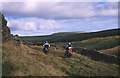
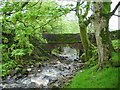
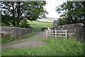
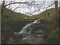
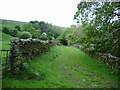
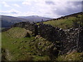
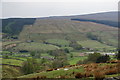
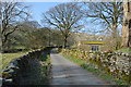
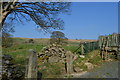
25 photos from this area
Area Information
Key information about the LA10 5RJ including its size, population, and administrative classification.
- Area Type
- Postcode
- Area Size
- 48.0 hectares
- Population
- 2394
- Population Density
- 10 people/km²
House Prices in LA10 5RJ
13
Properties
£166,738
Average Sold Price
£30,000
Lowest Price
£282,000
Highest Price
Showing 13 properties
| Address | Type | Beds | Baths | Last Sale Price | Last Sale Date | |
|---|---|---|---|---|---|---|
| Cowgill Barn, Cowgill, Sedbergh, LA10 5RJ | Semi-detached | 2 | - | £30,000 | May 2017 | |
| Brooklyn, Cowgill, Sedbergh, LA10 5RJ | Bungalow | 3 | - | £282,000 | Apr 2015 | |
| Dockra Cottage, Cowgill, Sedbergh, LA10 5RJ | Semi-detached | - | - | £249,950 | Jul 2006 | |
| West Cowgill, Cowgill, Sedbergh, LA10 5RJ | Detached | - | - | £105,000 | Jan 1997 | |
| Dockra, Cowgill, Sedbergh, LA10 5RJ | Retail | 4 | 2 | - | - | |
| School House, Cowgill, Sedbergh, LA10 5RJ | Semi-detached | 3 | 1 | - | - | |
| 3, Weaving Terrace, Cowgill, Sedbergh, LA10 5RJ | house | 2 | - | - | - | |
| 4, Weaving Terrace, Cowgill, Sedbergh, LA10 5RJ | Terraced | - | - | - | - | |
| East Cowgill, Cowgill, Sedbergh, LA10 5RJ | house | - | - | - | - | |
| 2, Weaving Terrace, Cowgill, Sedbergh, LA10 5RJ | house | - | - | - | - |
Page 1 of 2
Energy Efficiency in LA10 5RJ
Amenities
Schools
| Rank | School | Type | Entry gender | Ages |
|---|
Explore more schools in this area
Go to Schools tabDemographics
Household Size
Two person
most common
Accommodation Type
Houses
most common
Tenure
80
majority
Ethnic Group
White
most common
Religion
N/A
most common
Household Composition
N/A
most common
Age
47
median
Adults (30-64 years)
most common
Household Deprivation
N/A
with no deprivation
NS-SEC
36
in Lower managerial occupations
Explore more demographic insights in this area
Go to Demographics tabPlanning
Planning Constraints
- Flood RiskPremium
- Ramsar Wetland SitesPremium
- Area of Outstanding Natural BeautyPremium
- Protected Nature ReservePremium
- Protected WoodlandPremium