Area Overview for LA10 5DL
Photos of LA10 5DL
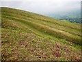
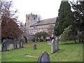
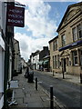
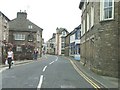
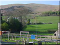
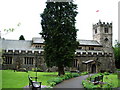
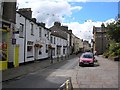
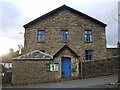
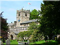
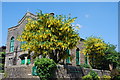
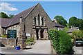
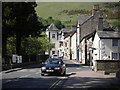
100 photos from this area
Area Information
Key information about the LA10 5DL including its size, population, and administrative classification.
- Area Type
- Postcode
- Area Size
- 3.3 hectares
- Population
- 1386
- Population Density
- 1645 people/km²
House Prices in LA10 5DL
15
Properties
£283,667
Average Sold Price
£195,000
Lowest Price
£543,000
Highest Price
Showing 15 properties
| Address | Type | Beds | Baths | Last Sale Price | Last Sale Date | |
|---|---|---|---|---|---|---|
| Daleslea, Station Road, Sedbergh, LA10 5DL | Semi-detached | 5 | 5 | £543,000 | Feb 2024 | |
| Walwyn, Station Road, Sedbergh, LA10 5DL | Retail | 2 | 1 | £300,000 | Sep 2022 | |
| Winton, Station Road, Sedbergh, LA10 5DL | house | - | - | £260,000 | Jul 2022 | |
| Aik Rigg, Station Road, Sedbergh, LA10 5DL | Semi-detached | 3 | - | £250,000 | Mar 2021 | |
| Stainforth, Station Road, Sedbergh, LA10 5DL | Bungalow | - | - | £235,000 | Aug 2019 | |
| Ackworth, Station Road, Sedbergh, LA10 5DL | house | 3 | - | £225,000 | Aug 2017 | |
| The Nook, Station Road, Sedbergh, LA10 5DL | Semi-detached | 2 | 1 | £195,000 | Feb 2017 | |
| Waverley, Station Road, Sedbergh, LA10 5DL | Semi-detached | 3 | 1 | £299,000 | Jul 2015 | |
| Glenholme, Station Road, Sedbergh, LA10 5DL | Bungalow | - | - | £246,000 | Oct 2010 | |
| The Hollies, Station Road, Sedbergh, LA10 5DL | Bungalow | 2 | 1 | - | - |
Page 1 of 2
Energy Efficiency in LA10 5DL
Amenities
Schools
| Rank | School | Type | Entry gender | Ages |
|---|
Explore more schools in this area
Go to Schools tabDemographics
Household Size
One person
most common
Accommodation Type
Houses
most common
Tenure
59
majority
Ethnic Group
White
most common
Religion
N/A
most common
Household Composition
N/A
most common
Age
47
median
Adults (30-64 years)
most common
Household Deprivation
N/A
with no deprivation
NS-SEC
26
in Lower managerial occupations
Explore more demographic insights in this area
Go to Demographics tabPlanning
Planning Constraints
- Flood RiskPremium
- Ramsar Wetland SitesPremium
- Area of Outstanding Natural BeautyPremium
- Protected Nature ReservePremium
- Protected WoodlandPremium