Area Overview for LA1 4RT
Photos of LA1 4RT

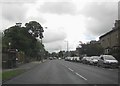

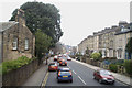
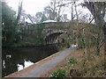

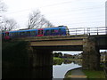
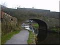

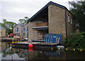
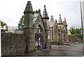
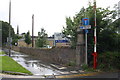
79 photos from this area
Area Information
Key information about the LA1 4RT including its size, population, and administrative classification.
- Area Type
- Postcode
- Area Size
- 5295 m²
- Population
- 1772
- Population Density
- 3626 people/km²
House Prices in LA1 4RT
6
Properties
£151,875
Average Sold Price
£110,000
Lowest Price
£200,000
Highest Price
Showing 6 properties
| Address | Type | Beds | Baths | Last Sale Price | Last Sale Date | |
|---|---|---|---|---|---|---|
| 16 Ashton Road, Lancaster, LA1 4RT | Bungalow | 2 | 1 | £147,500 | Jun 2025 | |
| 26 Ashton Road, Lancaster, LA1 4RT | Bungalow | 3 | 1 | £200,000 | Oct 2024 | |
| 22 Ashton Road, Lancaster, LA1 4RT | Bungalow | 2 | 1 | £150,000 | Apr 2015 | |
| 24 Ashton Road, Lancaster, LA1 4RT | Bungalow | - | - | £110,000 | Jan 2009 | |
| 18 Ashton Road, Lancaster, LA1 4RT | Bungalow | - | - | - | - | |
| 20 Ashton Road, Lancaster, LA1 4RT | Bungalow | - | - | - | - |
Energy Efficiency in LA1 4RT
Amenities
Schools
| Rank | School | Type | Entry gender | Ages |
|---|
Explore more schools in this area
Go to Schools tabDemographics
Household Size
One person
most common
Accommodation Type
Houses
most common
Tenure
51
majority
Ethnic Group
White
most common
Religion
N/A
most common
Household Composition
N/A
most common
Age
47
median
Adults (30-64 years)
most common
Household Deprivation
N/A
with no deprivation
NS-SEC
33
in Lower managerial occupations
Explore more demographic insights in this area
Go to Demographics tabPlanning
Planning Constraints
- Flood RiskPremium
- Ramsar Wetland SitesPremium
- Area of Outstanding Natural BeautyPremium
- Protected Nature ReservePremium
- Protected WoodlandPremium