Area Overview for LA1 3HX
Photos of LA1 3HX

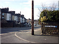
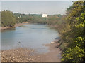
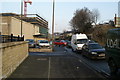
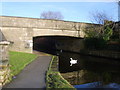
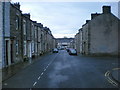
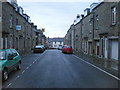
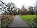
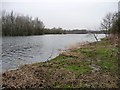

70 photos from this area
Area Information
Key information about the LA1 3HX including its size, population, and administrative classification.
- Area Type
- Postcode
- Area Size
- 2580 m²
- Population
- 1283
- Population Density
- 2314 people/km²
House Prices in LA1 3HX
15
Properties
£61,586
Average Sold Price
£31,500
Lowest Price
£87,000
Highest Price
Showing 15 properties
| Address | Type | Beds | Baths | Last Sale Price | Last Sale Date | |
|---|---|---|---|---|---|---|
| 7, Monthall Rise, Ambleside Road, Lancaster, LA1 3HX | Flat | - | - | £73,000 | Dec 2024 | |
| 3, Monthall Rise, Ambleside Road, Lancaster, LA1 3HX | Flat | - | - | £87,000 | Jun 2024 | |
| 4, Monthall Rise, Ambleside Road, Lancaster, LA1 3HX | Flat | - | - | £60,000 | Aug 2022 | |
| 6, Monthall Rise, Ambleside Road, Lancaster, LA1 3HX | Flat | 2 | 1 | £63,000 | Apr 2022 | |
| 10, Monthall Rise, Ambleside Road, Lancaster, LA1 3HX | Flat | - | - | £69,500 | Oct 2021 | |
| 9, Monthall Rise, Ambleside Road, Lancaster, LA1 3HX | Flat | - | - | £69,950 | May 2021 | |
| 5, Monthall Rise, Ambleside Road, Lancaster, LA1 3HX | Flat | - | - | £54,000 | Mar 2021 | |
| 2, Monthall Rise, Ambleside Road, Lancaster, LA1 3HX | Flat | - | - | £72,500 | Jan 2020 | |
| 11, Monthall Rise, Ambleside Road, Lancaster, LA1 3HX | Flat | - | - | £46,000 | Jul 2017 | |
| 14, Monthall Rise, Ambleside Road, Lancaster, LA1 3HX | Flat | - | - | £51,000 | Feb 2017 |
Page 1 of 2
Energy Efficiency in LA1 3HX
Amenities
Schools
| Rank | School | Type | Entry gender | Ages |
|---|
Explore more schools in this area
Go to Schools tabDemographics
Household Size
Family (3-5 people)
most common
Accommodation Type
Houses
most common
Tenure
55
majority
Ethnic Group
White
most common
Religion
N/A
most common
Household Composition
N/A
most common
Age
47
median
Adults (30-64 years)
most common
Household Deprivation
N/A
with no deprivation
NS-SEC
19
in Lower managerial occupations
Explore more demographic insights in this area
Go to Demographics tabPlanning
Planning Constraints
- Flood RiskPremium
- Ramsar Wetland SitesPremium
- Area of Outstanding Natural BeautyPremium
- Protected Nature ReservePremium
- Protected WoodlandPremium