Area Overview for L9 8DL
Photos of L9 8DL
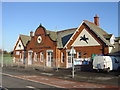
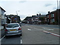
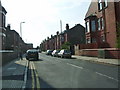
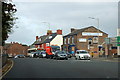
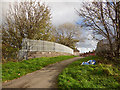
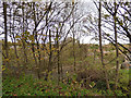
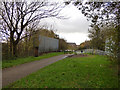
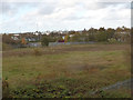
60 photos from this area
Area Information
Key information about the L9 8DL including its size, population, and administrative classification.
- Area Type
- Postcode
- Area Size
- 4620 m²
- Population
- 1359
- Population Density
- 7537 people/km²
House Prices in L9 8DL
22
Properties
£95,389
Average Sold Price
£45,500
Lowest Price
£137,500
Highest Price
Showing 22 properties
| Address | Type | Beds | Baths | Last Sale Price | Last Sale Date | |
|---|---|---|---|---|---|---|
| 19 Wensleydale, Liverpool, L9 8DL | house | - | - | £50,000 | Jan 2025 | |
| 8 Wensleydale, Liverpool, L9 8DL | Terraced | 3 | 1 | £110,000 | Jun 2024 | |
| 1 Wensleydale, Liverpool, L9 8DL | house | 3 | - | £125,000 | Mar 2022 | |
| 20 Wensleydale, Liverpool, L9 8DL | house | - | - | £137,500 | Nov 2021 | |
| 4 Wensleydale, Liverpool, L9 8DL | house | 3 | 1 | £100,000 | Nov 2017 | |
| 15 Wensleydale, Liverpool, L9 8DL | Semi-detached | 3 | - | £90,000 | Oct 2016 | |
| 6 Wensleydale, Liverpool, L9 8DL | Terraced | - | - | £118,000 | Mar 2008 | |
| 3 Wensleydale, Liverpool, L9 8DL | house | 3 | - | £82,500 | Nov 2003 | |
| 21 Wensleydale, Liverpool, L9 8DL | house | 3 | - | £45,500 | Oct 1999 | |
| 2 Wensleydale, Liverpool, L9 8DL | Terraced | 3 | 1 | - | - |
Page 1 of 3
Energy Efficiency in L9 8DL
Amenities
Schools
| Rank | School | Type | Entry gender | Ages |
|---|
Explore more schools in this area
Go to Schools tabDemographics
Household Size
Family (3-5 people)
most common
Accommodation Type
Houses
most common
Tenure
76
majority
Ethnic Group
White
most common
Religion
N/A
most common
Household Composition
N/A
most common
Age
47
median
Adults (30-64 years)
most common
Household Deprivation
N/A
with no deprivation
NS-SEC
26
in Lower managerial occupations
Explore more demographic insights in this area
Go to Demographics tabPlanning
Planning Constraints
- Flood RiskPremium
- Ramsar Wetland SitesPremium
- Area of Outstanding Natural BeautyPremium
- Protected Nature ReservePremium
- Protected WoodlandPremium