Area Overview for L9 8BD
Photos of L9 8BD
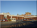
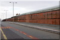
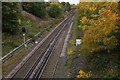
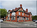
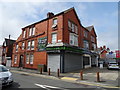
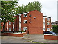
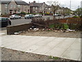


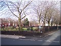

18 photos from this area
Area Information
Key information about the L9 8BD including its size, population, and administrative classification.
- Area Type
- Postcode
- Area Size
- 4037 m²
- Population
- 2302
- Population Density
- 7472 people/km²
House Prices in L9 8BD
14
Properties
£75,988
Average Sold Price
£31,500
Lowest Price
£105,000
Highest Price
Showing 14 properties
| Address | Type | Beds | Baths | Last Sale Price | Last Sale Date | |
|---|---|---|---|---|---|---|
| 2 Whinfield Road, Liverpool, L9 8BD | Terraced | 3 | 1 | £105,000 | Feb 2020 | |
| 5 Whinfield Road, Liverpool, L9 8BD | house | 3 | 1 | £95,000 | Mar 2019 | |
| 4 Whinfield Road, Liverpool, L9 8BD | house | - | - | £99,950 | Feb 2018 | |
| 18 Whinfield Road, Liverpool, L9 8BD | Terraced | 3 | 1 | £75,000 | Feb 2014 | |
| 7 Whinfield Road, Liverpool, L9 8BD | house | - | - | £104,000 | May 2006 | |
| 6 Whinfield Road, Liverpool, L9 8BD | Terraced | 3 | 1 | £48,000 | May 2003 | |
| 12 Whinfield Road, Liverpool, L9 8BD | Terraced | - | - | £49,450 | Nov 2002 | |
| 10 Whinfield Road, Liverpool, L9 8BD | Terraced | - | - | £31,500 | Nov 1999 | |
| 3 Whinfield Road, Liverpool, L9 8BD | Terraced | - | - | - | - | |
| Orrell Park Baptist Hall, Whinfield Road, Liverpool, L9 8BD | commercial | - | - | - | - |
Page 1 of 2
Energy Efficiency in L9 8BD
Amenities
Schools
| Rank | School | Type | Entry gender | Ages |
|---|
Explore more schools in this area
Go to Schools tabDemographics
Household Size
Family (3-5 people)
most common
Accommodation Type
Houses
most common
Tenure
75
majority
Ethnic Group
White
most common
Religion
N/A
most common
Household Composition
N/A
most common
Age
47
median
Adults (30-64 years)
most common
Household Deprivation
N/A
with no deprivation
NS-SEC
21
in Lower managerial occupations
Explore more demographic insights in this area
Go to Demographics tabPlanning
Planning Constraints
- Flood RiskPremium
- Ramsar Wetland SitesPremium
- Area of Outstanding Natural BeautyPremium
- Protected Nature ReservePremium
- Protected WoodlandPremium