Area Overview for L9 7LG
Photos of L9 7LG
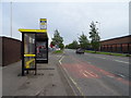
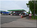
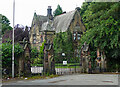
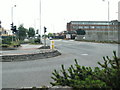
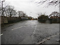
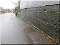
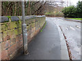
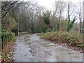
19 photos from this area
Area Information
Key information about the L9 7LG including its size, population, and administrative classification.
- Area Type
- Postcode
- Area Size
- 14.0 hectares
- Population
- 1367
- Population Density
- 2147 people/km²
House Prices in L9 7LG
64
Properties
£141,774
Average Sold Price
£38,500
Lowest Price
£300,000
Highest Price
Showing 64 properties
| Address | Type | Beds | Baths | Last Sale Price | Last Sale Date | |
|---|---|---|---|---|---|---|
| 66 Whitewood Park, Liverpool, L9 7LG | Detached | 4 | 3 | £300,000 | Jun 2025 | |
| 80 Whitewood Park, Liverpool, L9 7LG | Detached | 4 | 3 | £296,000 | Dec 2024 | |
| 70 Whitewood Park, Liverpool, L9 7LG | house | - | - | £140,000 | Jun 2023 | |
| 4 Whitewood Park, Liverpool, L9 7LG | Detached | 4 | 3 | £180,000 | Jan 2021 | |
| 96 Whitewood Park, Liverpool, L9 7LG | house | - | - | £250,000 | Nov 2020 | |
| 100 Whitewood Park, Liverpool, L9 7LG | Detached | 4 | 1 | £234,950 | Aug 2020 | |
| 124 Whitewood Park, Liverpool, L9 7LG | Detached | 4 | 2 | £243,500 | Feb 2020 | |
| 54 Whitewood Park, Liverpool, L9 7LG | house | - | - | £205,000 | Feb 2020 | |
| 58 Whitewood Park, Liverpool, L9 7LG | Detached | 4 | 3 | £225,000 | Nov 2018 | |
| 34 Whitewood Park, Liverpool, L9 7LG | house | - | - | £185,000 | Mar 2017 |
Page 1 of 7
Energy Efficiency in L9 7LG
Amenities
Schools
| Rank | School | Type | Entry gender | Ages |
|---|
Explore more schools in this area
Go to Schools tabDemographics
Household Size
One person
most common
Accommodation Type
Houses
most common
Tenure
57
majority
Ethnic Group
White
most common
Religion
N/A
most common
Household Composition
N/A
most common
Age
47
median
Adults (30-64 years)
most common
Household Deprivation
N/A
with no deprivation
NS-SEC
25
in Lower managerial occupations
Explore more demographic insights in this area
Go to Demographics tabPlanning
Planning Constraints
- Flood RiskPremium
- Ramsar Wetland SitesPremium
- Area of Outstanding Natural BeautyPremium
- Protected Nature ReservePremium
- Protected WoodlandPremium