Area Overview for L9 6EP
Photos of L9 6EP
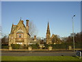
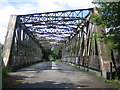
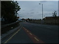
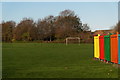
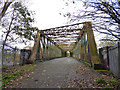
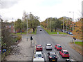
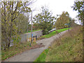
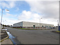
24 photos from this area
Area Information
Key information about the L9 6EP including its size, population, and administrative classification.
- Area Type
- Postcode
- Area Size
- 1.2 hectares
- Population
- 2152
- Population Density
- 5971 people/km²
House Prices in L9 6EP
48
Properties
£97,522
Average Sold Price
£51,775
Lowest Price
£262,500
Highest Price
Showing 48 properties
| Address | Type | Beds | Baths | Last Sale Price | Last Sale Date | |
|---|---|---|---|---|---|---|
| 28 Mater Close, Liverpool, L9 6EP | Flat | 2 | 1 | £86,500 | Aug 2025 | |
| 15 Mater Close, Liverpool, L9 6EP | Flat | 2 | 1 | £52,000 | Aug 2025 | |
| 27 Mater Close, Liverpool, L9 6EP | Flat | 2 | 1 | £67,000 | Nov 2024 | |
| 37 Mater Close, Liverpool, L9 6EP | Flat | - | - | £87,000 | Dec 2023 | |
| 47 Mater Close, Liverpool, L9 6EP | Semi-detached | 3 | 2 | £160,000 | Jul 2023 | |
| 39 Mater Close, Liverpool, L9 6EP | Flat | 2 | 1 | £73,500 | Feb 2022 | |
| 46 Mater Close, Liverpool, L9 6EP | Detached | 3 | 1 | £145,000 | Dec 2021 | |
| 21 Mater Close, Liverpool, L9 6EP | Flat | - | - | £66,000 | Jun 2021 | |
| 16 Mater Close, Liverpool, L9 6EP | Flat | - | - | £65,500 | May 2021 | |
| 22 Mater Close, Liverpool, L9 6EP | Flat | - | - | £67,500 | May 2021 |
Page 1 of 5
Energy Efficiency in L9 6EP
Amenities
Schools
| Rank | School | Type | Entry gender | Ages |
|---|
Explore more schools in this area
Go to Schools tabDemographics
Household Size
Family (3-5 people)
most common
Accommodation Type
Houses
most common
Tenure
55
majority
Ethnic Group
White
most common
Religion
N/A
most common
Household Composition
N/A
most common
Age
47
median
Adults (30-64 years)
most common
Household Deprivation
N/A
with no deprivation
NS-SEC
25
in Lower managerial occupations
Explore more demographic insights in this area
Go to Demographics tabPlanning
Planning Constraints
- Flood RiskPremium
- Ramsar Wetland SitesPremium
- Area of Outstanding Natural BeautyPremium
- Protected Nature ReservePremium
- Protected WoodlandPremium