Area Overview for L8 6RE
Photos of L8 6RE
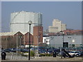
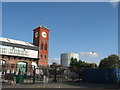
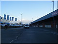
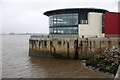
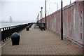
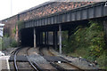
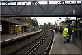
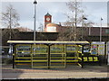
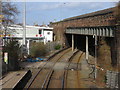
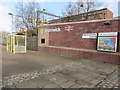
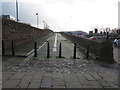
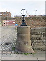
72 photos from this area
Area Information
Key information about the L8 6RE including its size, population, and administrative classification.
- Area Type
- Postcode
- Area Size
- 3755 m²
- Population
- 1205
- Population Density
- 2496 people/km²
House Prices in L8 6RE
16
Properties
£80,625
Average Sold Price
£12,000
Lowest Price
£154,000
Highest Price
Showing 16 properties
| Address | Type | Beds | Baths | Last Sale Price | Last Sale Date | |
|---|---|---|---|---|---|---|
| 211 Caryl Street, Liverpool, L8 6RE | Terraced | 3 | 1 | £137,500 | Jan 2025 | |
| 209 Caryl Street, Liverpool, L8 6RE | Terraced | 3 | 1 | £154,000 | Feb 2024 | |
| 201 Caryl Street, Liverpool, L8 6RE | Terraced | 3 | 1 | £125,000 | Nov 2022 | |
| 229 Caryl Street, Liverpool, L8 6RE | house | - | - | £120,000 | Jul 2022 | |
| 215 Caryl Street, Liverpool, L8 6RE | Terraced | 3 | - | £74,000 | Oct 2019 | |
| 225 Caryl Street, Liverpool, L8 6RE | house | - | - | £50,000 | Jun 2019 | |
| 221 Caryl Street, Liverpool, L8 6RE | Terraced | 3 | 1 | £85,000 | Jan 2019 | |
| 203 Caryl Street, Liverpool, L8 6RE | Terraced | 3 | - | £83,000 | Aug 2018 | |
| 213 Caryl Street, Liverpool, L8 6RE | Terraced | 2 | - | £80,000 | Aug 2013 | |
| 217 Caryl Street, Liverpool, L8 6RE | house | - | - | £32,000 | Jun 2005 |
Page 1 of 2
Energy Efficiency in L8 6RE
Amenities
Schools
| Rank | School | Type | Entry gender | Ages |
|---|
Explore more schools in this area
Go to Schools tabDemographics
Household Size
One person
most common
Accommodation Type
Flats
most common
Tenure
34
majority
Ethnic Group
White
most common
Religion
N/A
most common
Household Composition
N/A
most common
Age
47
median
Adults (30-64 years)
most common
Household Deprivation
N/A
with no deprivation
NS-SEC
51
in Lower managerial occupations
Explore more demographic insights in this area
Go to Demographics tabPlanning
Planning Constraints
- Flood RiskPremium
- Ramsar Wetland SitesPremium
- Area of Outstanding Natural BeautyPremium
- Protected Nature ReservePremium
- Protected WoodlandPremium