Area Overview for L8 4SZ
Photos of L8 4SZ
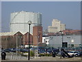
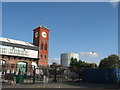
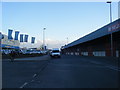
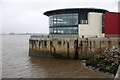
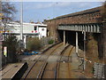
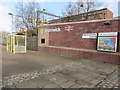
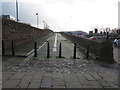
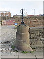
72 photos from this area
Area Information
Key information about the L8 4SZ including its size, population, and administrative classification.
- Area Type
- Postcode
- Area Size
- 6138 m²
- Population
- 1784
- Population Density
- 8784 people/km²
House Prices in L8 4SZ
47
Properties
£96,400
Average Sold Price
£24,000
Lowest Price
£170,000
Highest Price
Showing 47 properties
| Address | Type | Beds | Baths | Last Sale Price | Last Sale Date | |
|---|---|---|---|---|---|---|
| 62 Moses Street, Liverpool, L8 4SZ | Terraced | 3 | 1 | £170,000 | Nov 2025 | |
| 26 Moses Street, Liverpool, L8 4SZ | Terraced | 3 | 1 | £158,000 | May 2024 | |
| 64 Moses Street, Liverpool, L8 4SZ | Terraced | 3 | 1 | £150,000 | Jun 2023 | |
| 16 Moses Street, Liverpool, L8 4SZ | Terraced | 3 | 1 | £135,000 | Aug 2020 | |
| 46 Moses Street, Liverpool, L8 4SZ | Terraced | 3 | 1 | £88,000 | Jun 2019 | |
| 44 Moses Street, Liverpool, L8 4SZ | Terraced | 3 | 2 | £30,000 | Nov 2015 | |
| 68 Moses Street, Liverpool, L8 4SZ | house | 3 | - | £60,000 | Jul 2014 | |
| 78 Moses Street, Liverpool, L8 4SZ | house | - | - | £65,000 | Jul 2008 | |
| 60 Moses Street, Liverpool, L8 4SZ | house | - | - | £84,000 | Mar 2007 | |
| 30 Moses Street, Liverpool, L8 4SZ | Terraced | 4 | 2 | £24,000 | Jul 2000 |
Page 1 of 5
Energy Efficiency in L8 4SZ
Amenities
Schools
| Rank | School | Type | Entry gender | Ages |
|---|
Explore more schools in this area
Go to Schools tabDemographics
Household Size
One person
most common
Accommodation Type
Houses
most common
Tenure
28
majority
Ethnic Group
White
most common
Religion
N/A
most common
Household Composition
N/A
most common
Age
47
median
Adults (30-64 years)
most common
Household Deprivation
N/A
with no deprivation
NS-SEC
18
in Lower managerial occupations
Explore more demographic insights in this area
Go to Demographics tabPlanning
Planning Constraints
- Flood RiskPremium
- Ramsar Wetland SitesPremium
- Area of Outstanding Natural BeautyPremium
- Protected Nature ReservePremium
- Protected WoodlandPremium