Area Overview for L8 0RW
Photos of L8 0RW
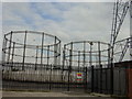
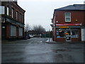
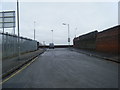
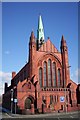
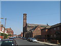
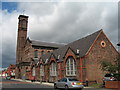
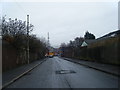

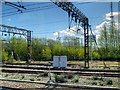
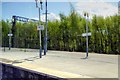
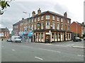
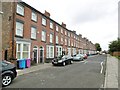
62 photos from this area
Area Information
Key information about the L8 0RW including its size, population, and administrative classification.
- Area Type
- Postcode
- Area Size
- 9581 m²
- Population
- 2070
- Population Density
- 8868 people/km²
House Prices in L8 0RW
63
Properties
£93,594
Average Sold Price
£15,000
Lowest Price
£280,000
Highest Price
Showing 63 properties
| Address | Type | Beds | Baths | Last Sale Price | Last Sale Date | |
|---|---|---|---|---|---|---|
| 6 Boswell Street, Liverpool, L8 0RW | Land | 3 | - | £280,000 | Sep 2022 | |
| 12 Boswell Street, Liverpool, L8 0RW | house | - | - | £120,000 | Oct 2021 | |
| 84 Boswell Street, Liverpool, L8 0RW | Terraced | 4 | 1 | £135,000 | Jan 2021 | |
| 92 Boswell Street, Liverpool, L8 0RW | Terraced | 4 | 1 | £115,000 | Mar 2020 | |
| 48 Boswell Street, Liverpool, L8 0RW | house | - | - | £55,000 | Aug 2019 | |
| 40 Boswell Street, Liverpool, L8 0RW | Semi-detached | 2 | - | £75,000 | May 2019 | |
| 2 Boswell Street, Liverpool, L8 0RW | Terraced | 4 | 2 | £70,379 | Feb 2019 | |
| 74 Boswell Street, Liverpool, L8 0RW | Detached | 1 | 1 | £124,000 | Jul 2018 | |
| 70 Boswell Street, Liverpool, L8 0RW | house | 4 | 2 | £198,000 | Apr 2018 | |
| 72 Boswell Street, Liverpool, L8 0RW | Terraced | 1 | 1 | £125,000 | Jun 2017 |
Page 1 of 7
Energy Efficiency in L8 0RW
Amenities
Schools
| Rank | School | Type | Entry gender | Ages |
|---|
Explore more schools in this area
Go to Schools tabDemographics
Household Size
One person
most common
Accommodation Type
Houses
most common
Tenure
13
majority
Ethnic Group
White
most common
Religion
N/A
most common
Household Composition
N/A
most common
Age
22
median
Adults (30-64 years)
most common
Household Deprivation
N/A
with no deprivation
NS-SEC
9
in Lower managerial occupations
Explore more demographic insights in this area
Go to Demographics tabPlanning
Planning Constraints
- Flood RiskPremium
- Ramsar Wetland SitesPremium
- Area of Outstanding Natural BeautyPremium
- Protected Nature ReservePremium
- Protected WoodlandPremium