Area Overview for L8 0RT
Photos of L8 0RT
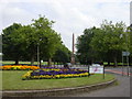
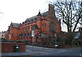
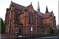
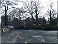
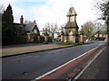
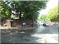
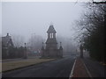
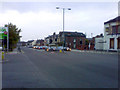
66 photos from this area
Area Information
Key information about the L8 0RT including its size, population, and administrative classification.
- Area Type
- Postcode
- Area Size
- 8471 m²
- Population
- 1864
- Population Density
- 11895 people/km²
House Prices in L8 0RT
56
Properties
£77,813
Average Sold Price
£9,000
Lowest Price
£138,000
Highest Price
Showing 56 properties
| Address | Type | Beds | Baths | Last Sale Price | Last Sale Date | |
|---|---|---|---|---|---|---|
| 22 Vandyke Street, Liverpool, L8 0RT | house | 2 | - | £110,000 | Oct 2021 | |
| 42 Vandyke Street, Liverpool, L8 0RT | house | - | - | £138,000 | Oct 2020 | |
| 20 VANDYKE STREET, Liverpool, L8 0RT | Semi-detached | 2 | 1 | £85,000 | Feb 2020 | |
| 66 Vandyke Street, Liverpool, L8 0RT | house | - | - | £68,127 | May 2018 | |
| 32 Vandyke Street, Liverpool, L8 0RT | house | 3 | - | £105,000 | Apr 2017 | |
| 44 Vandyke Street, Liverpool, L8 0RT | house | - | - | £40,000 | Jun 2009 | |
| 78 Vandyke Street, Liverpool, L8 0RT | Semi-detached | - | - | £115,000 | Jul 2006 | |
| 80 Vandyke Street, Liverpool, L8 0RT | house | - | - | £90,000 | Dec 2004 | |
| 14 Vandyke Street, Liverpool, L8 0RT | house | - | - | £9,000 | Jun 2002 | |
| 38 Vandyke Street, Liverpool, L8 0RT | Terraced | - | - | £18,000 | May 2001 |
Page 1 of 6
Energy Efficiency in L8 0RT
Amenities
Schools
| Rank | School | Type | Entry gender | Ages |
|---|
Explore more schools in this area
Go to Schools tabDemographics
Household Size
One person
most common
Accommodation Type
Houses
most common
Tenure
19
majority
Ethnic Group
White
most common
Religion
N/A
most common
Household Composition
N/A
most common
Age
47
median
Adults (30-64 years)
most common
Household Deprivation
N/A
with no deprivation
NS-SEC
19
in Lower managerial occupations
Explore more demographic insights in this area
Go to Demographics tabPlanning
Planning Constraints
- Flood RiskPremium
- Ramsar Wetland SitesPremium
- Area of Outstanding Natural BeautyPremium
- Protected Nature ReservePremium
- Protected WoodlandPremium