Area Overview for L7 8RG
Photos of L7 8RG
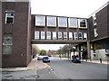
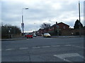
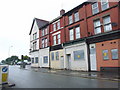
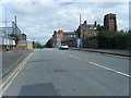
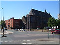
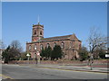
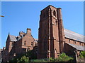
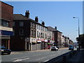

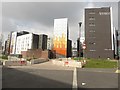
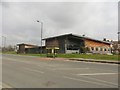

92 photos from this area
Area Information
Key information about the L7 8RG including its size, population, and administrative classification.
- Area Type
- Postcode
- Area Size
- 2622 m²
- Population
- 1658
- Population Density
- 7609 people/km²
House Prices in L7 8RG
22
Properties
£128,163
Average Sold Price
£66,000
Lowest Price
£275,000
Highest Price
Showing 22 properties
| Address | Type | Beds | Baths | Last Sale Price | Last Sale Date | |
|---|---|---|---|---|---|---|
| 13 Albany Road, Kensington, Liverpool, L7 8RG | house | 6 | 2 | £200,000 | May 2025 | |
| 15 Albany Road, Kensington, Liverpool, L7 8RG | Terraced | 2 | 1 | £137,000 | Aug 2022 | |
| 21 Albany Road, Kensington, Liverpool, L7 8RG | house | - | - | £100,000 | Oct 2021 | |
| 19 Albany Road, Kensington, Liverpool, L7 8RG | Terraced | 6 | 2 | £275,000 | Jun 2021 | |
| 18 Albany Road, Kensington, Liverpool, L7 8RG | Detached | 6 | 3 | £265,000 | Mar 2021 | |
| 16 Albany Road, Kensington, Liverpool, L7 8RG | Terraced | 3 | - | £140,000 | Nov 2020 | |
| 1 Albany Road, Kensington, Liverpool, L7 8RG | Terraced | 4 | 2 | £81,000 | Dec 2017 | |
| 22 Albany Road, Kensington, Liverpool, L7 8RG | Terraced | 4 | 1 | £127,500 | Mar 2017 | |
| 4 Albany Road, Kensington, Liverpool, L7 8RG | Terraced | 6 | 6 | £105,000 | Jul 2015 | |
| 8 Albany Road, Kensington, Liverpool, L7 8RG | house | - | - | £70,000 | Nov 2014 |
Page 1 of 3
Energy Efficiency in L7 8RG
Amenities
Schools
| Rank | School | Type | Entry gender | Ages |
|---|
Explore more schools in this area
Go to Schools tabDemographics
Household Size
Family (3-5 people)
most common
Accommodation Type
Houses
most common
Tenure
24
majority
Ethnic Group
White
most common
Religion
N/A
most common
Household Composition
N/A
most common
Age
22
median
Young Adults (15-29 years)
most common
Household Deprivation
N/A
with no deprivation
NS-SEC
12
in Lower managerial occupations
Explore more demographic insights in this area
Go to Demographics tabPlanning
Planning Constraints
- Flood RiskPremium
- Ramsar Wetland SitesPremium
- Area of Outstanding Natural BeautyPremium
- Protected Nature ReservePremium
- Protected WoodlandPremium