Area Overview for L7 1PA
Photos of L7 1PA
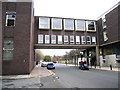
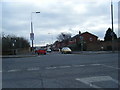
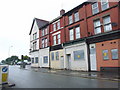
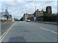
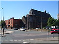
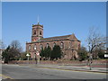
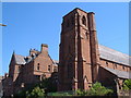
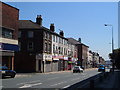

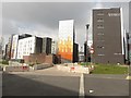
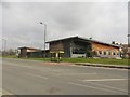

92 photos from this area
Area Information
Key information about the L7 1PA including its size, population, and administrative classification.
- Area Type
- Postcode
- Area Size
- 6473 m²
- Population
- 2467
- Population Density
- 7712 people/km²
House Prices in L7 1PA
35
Properties
£248,621
Average Sold Price
£180,995
Lowest Price
£950,000
Highest Price
Showing 35 properties
| Address | Type | Beds | Baths | Last Sale Price | Last Sale Date | |
|---|---|---|---|---|---|---|
| 39 Marmaduke Street, Liverpool, L7 1PA | house | 4 | 1 | £219,995 | Jan 2022 | |
| 41 Marmaduke Street, Liverpool, L7 1PA | house | - | - | £215,995 | May 2021 | |
| 35 Marmaduke Street, Liverpool, L7 1PA | house | - | - | £210,995 | Apr 2021 | |
| 33 Marmaduke Street, Liverpool, L7 1PA | house | - | - | £210,995 | Apr 2021 | |
| 31 Marmaduke Street, Liverpool, L7 1PA | house | - | - | £212,995 | Apr 2021 | |
| 37 Marmaduke Street, Liverpool, L7 1PA | house | - | - | £214,995 | Apr 2021 | |
| 29 Marmaduke Street, Liverpool, L7 1PA | house | - | - | £196,995 | Aug 2019 | |
| 25 Marmaduke Street, Liverpool, L7 1PA | house | - | - | £195,995 | Jul 2019 | |
| 27 Marmaduke Street, Liverpool, L7 1PA | house | - | - | £181,995 | Jul 2019 | |
| 23 Marmaduke Street, Liverpool, L7 1PA | house | 5 | - | £197,995 | Jul 2019 |
Page 1 of 4
Energy Efficiency in L7 1PA
Amenities
Schools
| Rank | School | Type | Entry gender | Ages |
|---|
Explore more schools in this area
Go to Schools tabDemographics
Household Size
One person
most common
Accommodation Type
Houses
most common
Tenure
33
majority
Ethnic Group
White
most common
Religion
N/A
most common
Household Composition
N/A
most common
Age
47
median
Adults (30-64 years)
most common
Household Deprivation
N/A
with no deprivation
NS-SEC
19
in Lower managerial occupations
Explore more demographic insights in this area
Go to Demographics tabPlanning
Planning Constraints
- Flood RiskPremium
- Ramsar Wetland SitesPremium
- Area of Outstanding Natural BeautyPremium
- Protected Nature ReservePremium
- Protected WoodlandPremium