Area Overview for L7 0AB
Photos of L7 0AB
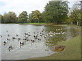
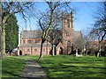
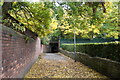
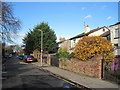
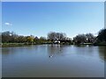
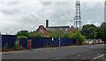
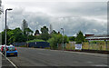
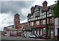
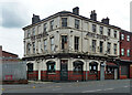
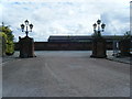
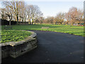
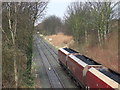
30 photos from this area
Area Information
Key information about the L7 0AB including its size, population, and administrative classification.
- Area Type
- Postcode
- Area Size
- 2.6 hectares
- Population
- 2510
- Population Density
- 4692 people/km²
House Prices in L7 0AB
73
Properties
£193,575
Average Sold Price
£142,995
Lowest Price
£300,000
Highest Price
Showing 73 properties
| Address | Type | Beds | Baths | Last Sale Price | Last Sale Date | |
|---|---|---|---|---|---|---|
| 103 Marrow Drive, Liverpool, L7 0AB | Detached | 3 | 1 | £300,000 | Aug 2025 | |
| 35 Marrow Drive, Liverpool, L7 0AB | Semi-detached | 3 | 1 | £262,000 | Mar 2025 | |
| 51 Marrow Drive, Liverpool, L7 0AB | Semi-detached | 3 | 1 | £235,100 | Nov 2024 | |
| 87 Marrow Drive, Liverpool, L7 0AB | Detached | 3 | 3 | £260,000 | Jul 2024 | |
| 137 Marrow Drive, Liverpool, L7 0AB | Detached | 3 | 3 | £280,000 | Sep 2023 | |
| 27 Marrow Drive, Liverpool, L7 0AB | Semi-detached | 3 | 1 | £225,000 | May 2023 | |
| 7 Marrow Drive, Liverpool, L7 0AB | Detached | 3 | 2 | £280,000 | Jan 2023 | |
| 19 Marrow Drive, Liverpool, L7 0AB | house | - | - | £256,000 | Nov 2021 | |
| 77 Marrow Drive, Liverpool, L7 0AB | house | - | - | £210,000 | Dec 2020 | |
| 133 Marrow Drive, Liverpool, L7 0AB | Detached | 3 | 1 | £197,500 | May 2019 |
Page 1 of 8
Energy Efficiency in L7 0AB
Amenities
Schools
| Rank | School | Type | Entry gender | Ages |
|---|
Explore more schools in this area
Go to Schools tabDemographics
Household Size
One person
most common
Accommodation Type
Houses
most common
Tenure
38
majority
Ethnic Group
White
most common
Religion
N/A
most common
Household Composition
N/A
most common
Age
47
median
Adults (30-64 years)
most common
Household Deprivation
N/A
with no deprivation
NS-SEC
22
in Lower managerial occupations
Explore more demographic insights in this area
Go to Demographics tabPlanning
Planning Constraints
- Flood RiskPremium
- Ramsar Wetland SitesPremium
- Area of Outstanding Natural BeautyPremium
- Protected Nature ReservePremium
- Protected WoodlandPremium