Area Overview for L6 9AY
Photos of L6 9AY
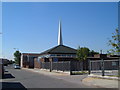
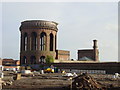
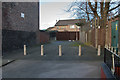
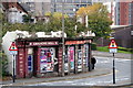
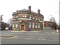
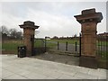
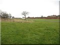
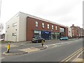
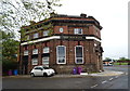
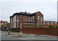
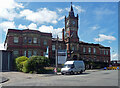
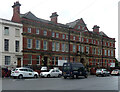
45 photos from this area
Area Information
Key information about the L6 9AY including its size, population, and administrative classification.
- Area Type
- Postcode
- Area Size
- 4954 m²
- Population
- 1658
- Population Density
- 7609 people/km²
House Prices in L6 9AY
24
Properties
£109,000
Average Sold Price
£90,000
Lowest Price
£130,000
Highest Price
Showing 24 properties
| Address | Type | Beds | Baths | Last Sale Price | Last Sale Date | |
|---|---|---|---|---|---|---|
| 117 Farnworth Street, Liverpool, L6 9AY | Semi-detached | 3 | 1 | £130,000 | Oct 2024 | |
| 109 Farnworth Street, Liverpool, L6 9AY | Terraced | - | - | £90,000 | Jun 2021 | |
| 89 Farnworth Street, Liverpool, L6 9AY | Terraced | 3 | 2 | £111,000 | Jun 2020 | |
| 113 Farnworth Street, Liverpool, L6 9AY | Terraced | 3 | 1 | £120,000 | May 2019 | |
| 99 Farnworth Street, Liverpool, L6 9AY | Terraced | 3 | 1 | £117,000 | Sep 2018 | |
| 97 Farnworth Street, Liverpool, L6 9AY | Semi-detached | 3 | - | £92,000 | Sep 2015 | |
| 105 Farnworth Street, Liverpool, L6 9AY | house | 3 | 1 | £103,000 | Oct 2005 | |
| 107 Farnworth Street, Liverpool, L6 9AY | Terraced | - | - | - | - | |
| 73 Farnworth Street, Liverpool, L6 9AY | Terraced | 3 | 1 | - | - | |
| 75 Farnworth Street, Liverpool, L6 9AY | Terraced | - | - | - | - |
Page 1 of 3
Energy Efficiency in L6 9AY
Amenities
Schools
| Rank | School | Type | Entry gender | Ages |
|---|
Explore more schools in this area
Go to Schools tabDemographics
Household Size
Family (3-5 people)
most common
Accommodation Type
Houses
most common
Tenure
24
majority
Ethnic Group
White
most common
Religion
N/A
most common
Household Composition
N/A
most common
Age
22
median
Young Adults (15-29 years)
most common
Household Deprivation
N/A
with no deprivation
NS-SEC
12
in Lower managerial occupations
Explore more demographic insights in this area
Go to Demographics tabPlanning
Planning Constraints
- Flood RiskPremium
- Ramsar Wetland SitesPremium
- Area of Outstanding Natural BeautyPremium
- Protected Nature ReservePremium
- Protected WoodlandPremium